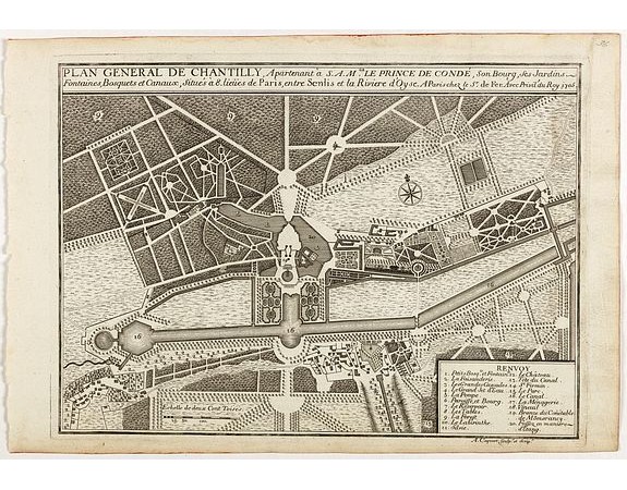
DE FER, N. - Plan general de Chantilly . . .

DE FER, N. - Plan general de Chantilly . . .
Published: Paris, 1705
Size: 242 x 340mm.
Color: Uncoloured.
Condition: Mint condition. Dark impression.
Description
Plan of the castle and city of Chantilly, from Nicolas de Fer's "L'Atlas curieux ou le Monde réprésente dans des cartes. "
The "Atlas Curieux" is a geographic encyclopedia of images and a celebration of the French Empire under the Sun King, with maps of French possessions in the western hemisphere, maps of France, with detailed views of the grand waterworks at Marly, views of the great palaces and chateaux, views and plans of the Paris Observatory, and samples of military architecture. Issued in six annual parts from 1700-1705, the maps are based on the new observations of the Académie des Sciences, and drawn up with the assistance of Philipe de La Hire.
The "Atlas Curieux" is a geographic encyclopedia of images and a celebration of the French Empire under the Sun King, with maps of French possessions in the western hemisphere, maps of France, with detailed views of the grand waterworks at Marly, views of the great palaces and chateaux, views and plans of the Paris Observatory, and samples of military architecture. Issued in six annual parts from 1700-1705, the maps are based on the new observations of the Académie des Sciences, and drawn up with the assistance of Philipe de La Hire.
50€
- See other items by this publisher: DE FER, N.
- Reference N°: 40878
3245 views
 Click on image to zoom
