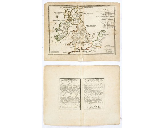
DE FER, N. - Les Isles Britanniques ou sont les Royaumes . . .
 Click on image to zoom

DE FER, N. - Les Isles Britanniques ou sont les Royaumes . . .
Published: Paris, 1705
Size: 217 x 282mm.
Color: In original o/l colours.
Condition: Paper slightly age toned and browned, a dark impression. Repair of a split in lower part center fold. <br />Accompanied by a double page engraved text sheet with a description of the region.
Description
An interesting small map of the British islands by Nicolas de Fer. From his rare "Petit et Nouveau Atlas". The first edition was published in 1697 and was republished in 1705 and 1723.
The finely engraved map is dated 1693 and was engraved by C. Inselin, the same engraver who engraved the maps in de Fer's later Atlas Curieux, published 1700-1705.
The finely engraved map is dated 1693 and was engraved by C. Inselin, the same engraver who engraved the maps in de Fer's later Atlas Curieux, published 1700-1705.
75€
- See other items by this publisher: DE FER, N.
- Reference N°: 37701
