DE FER, N.
Location: 1692
Published: Paris, 1692
Size: 138 x 210mm.
Color: Uncoloured.
Condition: Good impression.
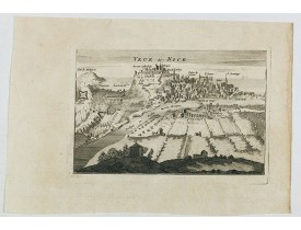
Engraved birds eye view of Nice. Shows rivers, canals, bridges, landmarks, farms and buildings. Relief shown pictorially...
150€
Location: 1692
Published: Paris, 1692
Size: 135 x 208mm.
Color: Uncoloured.
Condition:
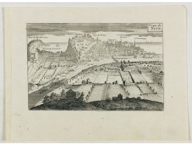
Beautiful city view of Nice from the countryside...
75€
Location: 1694
Published: Paris, 1694
Size: 610 x 880mm.
Color: In attactive original colours.
Condition: In mint condition. Hightened with gold.
Orné de 3 cartouches illustrant les monuments de Paris : en haut à gauche, Notre Dame, Palais d'Orléans, Sorbonne et Val de G..
3,200€
Location: 1695
Published: Paris, 1695
Size: 220 x 320mm.
Color: Uncoloured.
Condition:
Detailled map of the region of Bordeaux. Showing in detail the estuary of Gironde...
150€
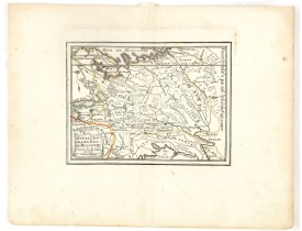
Location: 1697
Published: Paris, 1697
Size: 135 x 183mm.
Color: In original o/l colours.
Condition: Paper slightly age toned, a dark impression. <br />Accompanied by a double page engraved text sheet with a description of the region.
DE FER, N. - Estats du Grand Duc de Moscovie . . . - 37705 - Russia - DE FER, N. - Estats du Grand Duc de Moscovie . . . - 3..
200€
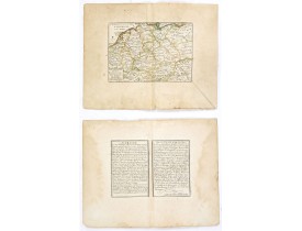
Location: 1704
Published: Paris, 1704
Size: 196 x 137mm.
Color: In original o/l colours.
Condition: Paper slightly age toned and browned, a dark impression. <br />Accompanied by a double page engraved text sheet with a description of the region.
DE FER, N. - L'Allemagne divisée en dix cercles . . . - 37703 - Germany - DE FER, N. - L'Allemagne divisée en dix cercles . ..
75€
Location: 1705
Published: Paris, 1705
Size: 227 x 343mm.
Color: Uncoloured.
Condition: Mint condition. Dark impression. <br />Together with an engraved text sheet.
Map of the Dauphiné region, from Nicolas de Fer's "L'Atlas curieux ou le Monde réprésente dans des cartes. "The "Atlas Curieu..
50€
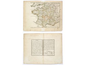
Location: 1705
Published: Paris, 1705
Size: 210 x 245mm.
Color: In original o/l colours.
Condition: Paper slightly age toned and browned, a dark impression. Repair of a split in lower part center fold. <br />Accompanied by a double page engraved text sheet with a description of the region.
DE FER, N. - La France avec ses acquisitions jusqu'à l'année 1705. - 37709 - France - DE FER, N. - La France avec ses acquis..
75€
Location: 1705
Published: Paris, 1705
Size: 217 x 282mm.
Color: In original o/l colours.
Condition: Paper slightly age toned and browned, a dark impression. Repair of a split in lower part center fold. <br />Accompanied by a double page engraved text sheet with a description of the region.
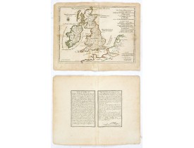
An interesting small map of the British islands by Nicolas de Fer. From his rare "Petit et Nouveau Atlas". The first edition ..
75€
Location: 1705
Published: Paris, 1705
Size: 235 x 342mm.
Color: Uncoloured.
Condition: Mint condition. Dark impression. <br />Together with an engraved text sheet.
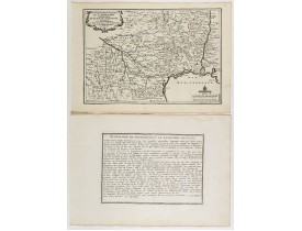
Map of the Languedoc region, from Nicolas de Fer's "L'Atlas curieux ou le Monde réprésente dans des cartes. "The "Atlas Curie..
75€
Location: 1705
Published: Paris, 1705
Size: 277 x 373mm.
Color: Uncoloured.
Condition: Mint condition. Dark impression.
Map of the Messin region, from Nicolas de Fer's "L'Atlas curieux ou le Monde réprésente dans des cartes. "The "Atlas Curieux"..
60€
Location: 1705
Published: Paris, 1705
Size: 247 x 360mm.
Color: Uncoloured.
Condition: Mint condition. Dark impression. <br />Together with an engraved text sheet.
Map of the Isle de France and Champagne regions, from Nicolas de Fer's "L'Atlas curieux ou le Monde réprésente dans des carte..
50€
Location: 1705
Published: Paris, 1705
Size: 243 x 337mm.
Color: Uncoloured.
Condition: Mint condition. Dark impression. <br />Together with an engraved text sheet.
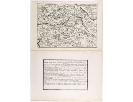
Map centered on Loire region, with Blois, Saumur, Sancerre and Orleans, from Nicolas de Fer's "L'Atlas curieux ou le Monde ré..
50€
Location: 1705
Published: Paris, 1705
Size: 160 x 195mm.
Color: Uncoloured.
Condition: Mint condition. Dark impression. <br />Together with an engraved text sheet.
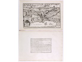
Aerial view of a salt marsh, with depiction of working scenes and a nice cartouche, from Nicolas de Fer's "L'Atlas curieux ou..
30€
Location: 1705
Published: Paris, 1705
Size: 237 x 340mm.
Color: Uncoloured.
Condition: Mint condition. Dark impression. <br />Together with an engraved text sheet.
Map of the Neuchatel region, from Nicolas de Fer's "L'Atlas curieux ou le Monde réprésente dans des cartes. "The "Atlas Curie..
50€
Location: 1705
Published: Paris, 1705
Size: 233 x 353mm.
Color: Uncoloured.
Condition: Mint condition. Dark impression. <br />Together with an engraved text sheet.
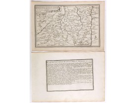
Map of central France with Clermont-Ferrand and Lyon to the right, from Nicolas de Fer's "L'Atlas curieux ou le Monde réprése..
50€
Location: 1705
Published: Paris, 1705
Size: 243 x 345mm.
Color: Uncoloured.
Condition: Mint condition. Dark impression. <br />Together with an engraved text sheet.
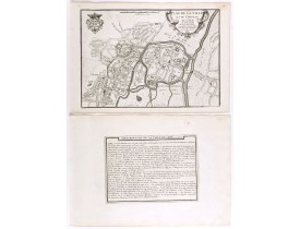
Plan of the castle and city of Caen, from Nicolas de Fer's "L'Atlas curieux ou le Monde réprésente dans des cartes. "The "Atl..
50€
Location: 1705
Published: Paris, 1705
Size: 243 x 355mm.
Color: Uncoloured.
Condition: Mint condition. Dark impression. <br />Together with an engraved text sheet.
Map of the Picardie region, from Nicolas de Fer's "L'Atlas curieux ou le Monde réprésente dans des cartes. "The "Atlas Curieu..
50€
Location: 1705
Published: Paris, 1705
Size: 230 x 335mm.
Color: Uncoloured.
Condition: Mint condition. Dark impression.
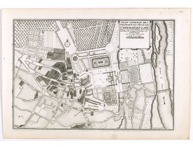
City plan of St Germain en Laye, from Nicolas de Fer's "L'Atlas curieux ou le Monde réprésente dans des cartes. "The "Atlas C..
50€
Location: 1705
Published: Paris, 1705
Size: 265 x 380mm.
Color: Uncoloured.
Condition: Lower margin cut into engraved area. Dark impression.
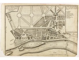
Plan of the castle and park of Saint Cloud, from Nicolas de Fer's "L'Atlas curieux ou le Monde réprésente dans des cartes. "T..
50€
Location: 1705
Published: Paris, 1705
Size: 242 x 340mm.
Color: Uncoloured.
Condition: Mint condition. Dark impression.
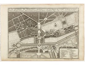
Plan of the castle and city of Chantilly, from Nicolas de Fer's "L'Atlas curieux ou le Monde réprésente dans des cartes. "The..
50€
Location: 1705
Published: Paris, 1705
Size: 690 x 635mm.
Color: In original o/l colours.
Condition: Good condition.
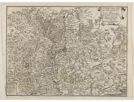
Detailled map of Alsace, Lorraine and Souabe...
50€
Location: 1705
Published: Paris, 1705
Size: 240 x 335mm.
Color: Uncoloured.
Condition: Mint condition. Dark impression.
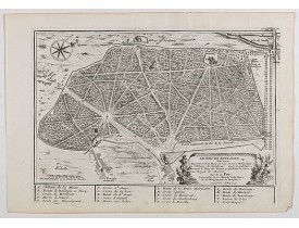
Engraved view of the Bois de Boulogne, from Nicolas de Fer's "L'Atlas curieux ou le Monde réprésente dans des cartes".The "At..
50€
Location: 1705
Published: Paris, 1705
Size: 230 x 343mm.
Color: Uncoloured.
Condition: Mint condition. Dark impression.
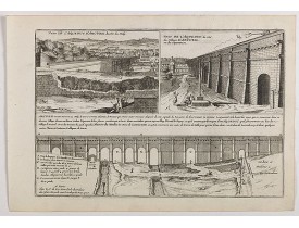
Engraved view of the Gard bridge, with a view of Nimes amphitheater , together with an engraved text page, from Nicolas de Fe..
50€
 Click on image to zoom


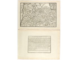
![DE FER, N. - [Saintonge, Guienne, Medoc.] DE FER, N. - [Saintonge, Guienne, Medoc.]](https://www.loeb-larocque.com/eshop/image/cache/catalog/image/new_upload/31394-275x210h.jpg)
