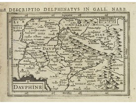
Dauphiné
Location: 1618
Published: Amsterdam 1616-1618
Size: 95 x 138mm.
Color: Uncoloured.
Condition: Good condition. Paper slightly age-toned.
Text in latin on verso...
80€
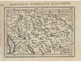
Location: 1618
Published: Amsterdam 1616-1618
Size: 94 x 133mm.
Color: Uncoloured.
Condition: Good condition. Paper slightly age-toned.
Text in latin on verso...
80€
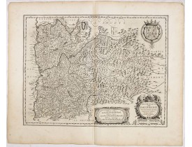
Location: 1634
Published: Amsterdam, 1634
Size: 380 x 490mm.
Color: Uncoloured.
Condition: In very good condition, good dark impression. A light map crease. Some place-names are marked in red. German text on verso.
A very beautiful map of a mountainous southern province of France by the most famous Dutch map publisher of the seventeenth c..
200€
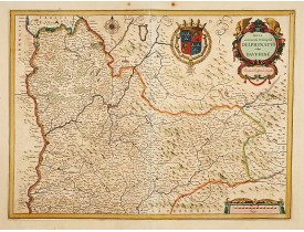
Location: 1650
Published: Amsterdam, 1650
Size: 372 x 511mm.
Color: In attactive original colours
Condition: With wide margins.
A decorative map of Dauphiné decorated with a title-cartouche, a scale and coats of arms...
300€
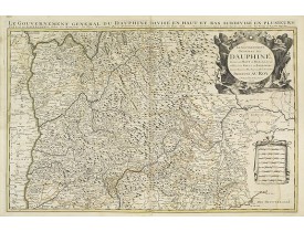
Location: 1692
Published: Amsterdam, 1692
Size: 540 x 850mm.
Color: In original o/l colours.
Condition: Printed on heavy, somewhat browned paper. Some minor marginal spotting. Else a good dark impression.
Fine map of the Dauphine with a decorative title and scale cartouche.Alexis-Hubert Jaillot (1632-1712), was a French cartogra..
400€
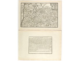
Location: 1705
Published: Paris, 1705
Size: 227 x 343mm.
Color: Uncoloured.
Condition: Mint condition. Dark impression. <br />Together with an engraved text sheet.
Map of the Dauphiné region, from Nicolas de Fer's "L'Atlas curieux ou le Monde réprésente dans des cartes. "The "Atlas Curieu..
50€
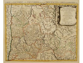
Location: 1745
Published: Amsterdam c. 1745
Size: 500 x 600mm.
Color: In original o/l colours.
Condition: Printed on heavy paper, slightly age-toned as usual. Good impression. Excellent condition.
Shows: Palatium Delphinale, Castrum, Domus Cartusiensis, Praeceptoriae Ordinis S. Johannis Hieros. With decorative title cart..
200€
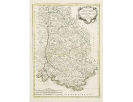
Location: 1771
Published: Paris, 1771
Size: 410 x 292mm.
Color: Original outline colours.
Condition: Minor discolouration along centre fold. Printed on heavy paper, with good margins. Good impression.
Attractive map of part of France, covering the eastern part of the Gulf of Lyon with its hinterland. Extending as far as Nice..
150€
Location: 1784
Published: Paris, 1784
Size: 655 x 470mm.
Color: In original o/l colours.
Condition: Carte divisée en 9 sections montée sur toile.
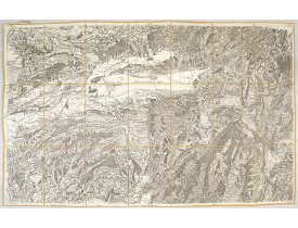
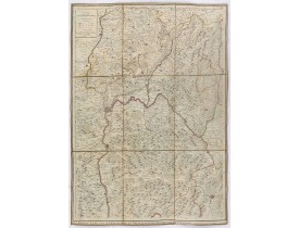
Carte dépliante représentant la Bresse, le Bugey, le Viennois et une partie du Lyonnais...
100€
Location: 1784
Published: Paris, 1784
Size: 655 x 470mm.
Color: In original o/l colours.
Condition:
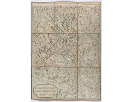
Carte dépliante représentant le Briançonnais, l'Ambrunois, le Vicariat de Barcelonette ainsi que les villes de Sisteron et Di..
100€
Location: 1806
Published: Paris, Prudhomme, Levrault, Debray, 1806
Size: 102 x 155mm.
Color: In original o/l colours.
Condition: Belle impression.
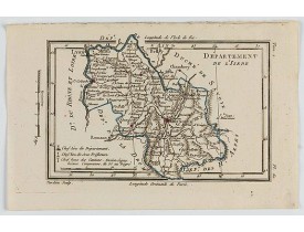
Carte centrée sur la ville de Grenoble, avec une petite légende dans le coin inférieur gauche.@..
15€
Location: 1806
Published: Paris, Prudhomme, Levrault, Debray, 1806
Size: 155 x 100 mm.
Color: In original o/l colours.
Condition: Belle impression. Marge gauche courte.
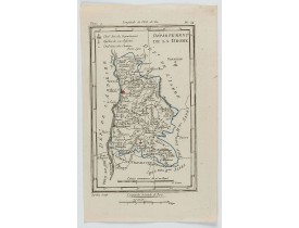
DELAPORTE, L'Abbé. - Département de la Drome. - 62272 - Dauphiné - DELAPORTE, L'Abbé. - Département de la Drome. - 62272 - D..
20€
Location: 1841
Published: Paris, M. B. Dusillon, ca. 1841
Size: 675 x 480mm.
Color: In original o/l colors.
Condition: Paper slightly age toned but generally in very good condition. The maps on strong paper. Size of the sheet 560mm x 740mm.
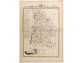
Map of the department of Drome, published in "Atlas Général de France", divided by departments by Donnet and Monin, geographe..
180€
Location: 1841
Published: Paris, M. B. Dusillon, ca. 1841
Size: 480 x 675mm.
Color: In original o/l colors.
Condition: Paper slightly age toned but generally in very good condition. The maps on strong paper. Size of the sheet 560mm x 740mm.
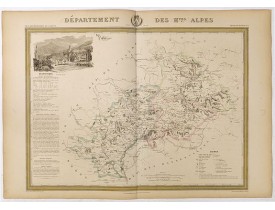
Detailed map of Hautes-Alpes, from "Atlas général de France divisée en départements par Donnet et Monin ; avec armes et vues ..
300€
Location: 1841
Published: Paris, M. B. Dusillon, ca. 1841
Size: 480 x 675mm.
Color: In original o/l colors.
Condition: Paper slightly age toned but generally in very good condition. The maps on strong paper. Size of the sheet 560mm x 740mm.
Detailed map of Loire, from "Atlas général de France divisée en départements par Donnet et Monin ; avec armes et vues de Chap..
180€
Location: 1852
Published: Paris, A. Combette, 1852
Size: 295 x 425mm.
Color: In original o/l colours.
Condition: Tres bon état. Gravure sur acier avec limites en coloris d'époque, les éléments décoratifs ne sont pas coloriés.
Carte du département des Hautes-Alpes. Jeune ingénieur géographe du milieu du XIXe siècle, Victor Levasseur est surtout connu..
50€
Location: 1852
Published: Paris, A. Combette, 1852
Size: 275 x 410mm.
Color: In original o/l colours.
Condition: Tres bon état. Gravure sur acier avec limites en coloris d'époque, les éléments décoratifs ne sont pas coloriés.
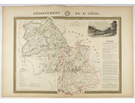
Carte du département de l'Isère. Jeune ingénieur géographe du milieu du XIXe siècle, Victor Levasseur est surtout connu pour ..
50€
Location: 1852
Published: Paris, A. Combette, 1852
Size: 415 x 285mm.
Color: In original o/l colours.
Condition: Tres bon état. Gravure sur acier avec limites en coloris d'époquer, les éléments décoratifs ne sont pas coloriés.
Carte du département de la Lozère. Jeune ingénieur géographe du milieu du XIXe siècle, Victor Levasseur est surtout connu pou..
30€
Showing 1 to 19 of 19 (1 Pages)


![LEVASSEUR, V. - Dépt. Des Hautes-Alpes. N°5 [ Gap ] LEVASSEUR, V. - Dépt. Des Hautes-Alpes. N°5 [ Gap ]](https://www.loeb-larocque.com/eshop/image/cache/catalog/image/new_upload/27084-275x210w.jpg)
![LEVASSEUR, V. - Dépt. De L'Isère. N°37. [ Grenoble ] LEVASSEUR, V. - Dépt. De L'Isère. N°37. [ Grenoble ]](https://www.loeb-larocque.com/eshop/image/cache/catalog/image/new_upload/27116-275x210w.jpg)
![LEVASSEUR, V. - Dépt. De La Lozère. N°47. [ Florac, Mende ] LEVASSEUR, V. - Dépt. De La Lozère. N°47. [ Florac, Mende ]](https://www.loeb-larocque.com/eshop/image/cache/catalog/image/new_upload/27126-275x210h.jpg)