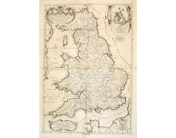
CORONELLI, V.M. - Parte settentrionale del regno d'inghilterra. . ./ Parte meridioçnale des regno d'inghilterra. . .
 Click on image to zoom

Out Of Stock
CORONELLI, V.M. - Parte settentrionale del regno d'inghilterra. . ./ Parte meridioçnale des regno d'inghilterra. . .
Published: Venice, 1698
Size: 865 x 590mm.
Color: Uncoloured.
Condition: Very good condition. Printed on heavy paper. Two joined maps.
Description
A beautiful and flamboyantly engraved two sheet map of British Isles, including four large cartouches and table of counties, towns, etc. Shows towns, mountains, rivers, lakes, islands, bays, churches and other features. One of the most sought after large format 17th century decorative maps of England.
The map is the product of the late 17th century Venetian cartographer, Vincenzo Coronelli.
A decorative title cartouche appears bottom left in the form of a banner supported by playful winged mermaids and cherubs.
The remarkable Vincenzo Coronelli (1650-1718), encyclopaedist, geographer, inventor and Doctor of Theology, was citizen of the Republic of Venice.
He was also one of the most prominent mapmakers and publishers in Europe of his day.
0€
- See other items by this publisher: CORONELLI, V.M.
- Reference N°: 32803
