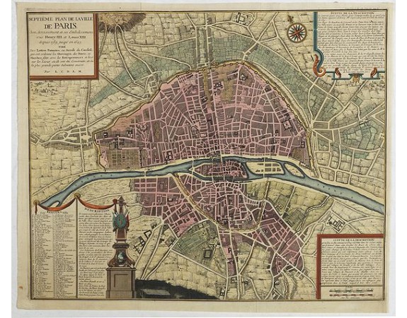
COQUART, A. - Septième plan de la ville de Paris, son accroissement et ses embelisssemens sous Henry IIII et Louis XIII depuis 1589 jusqu'en 1643
 Click on image to zoom

COQUART, A. - Septième plan de la ville de Paris, son accroissement et ses embelisssemens sous Henry IIII et Louis XIII depuis 1589 jusqu'en 1643
Published: Paris, 1705
Size: 455 x 555mm.
Color: Coloured.
Condition: Dark impression. Short lower right margin, reinstalled.
Description
Seventh plan of the city of Paris, its growth and its embellishments under Henry IIII and Louis III from 1589 to 1643.
From a chronological series of eight maps of Paris from Traité de la police ("Treatise on the Police") which is among the earliest attempts to illustrate historical change with maps and shows the growth of Paris from Roman times up to 1705, the year of publication.
The Traité de la police by Nicolas de La Mare (1639–1723), a Paris magistrate (commissaire) who specialized in urban problems and services, is a pioneering work in the area of urban administration. The maps were included in the first volume to accompany a discussion of the historical basis of the plans.
The maps proved popular and were frequently reproduced and sold. Goffart believes that in about 1715, de Fer copied the entire set of eight and published them under his own name, and is therefore sometimes credited as the sole author. By the 19th century critics recognized the many errors in the maps and sometimes described them as "fanciful" and "imaginary"."
750€
- Reference N°: 42345
