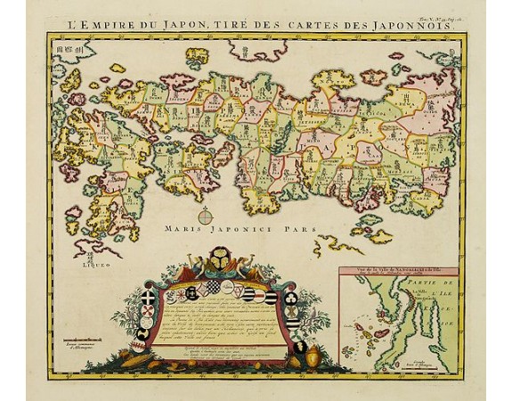
CHATELAIN, H. - L'Empire du Japon, tire des cartes des Japonnois.
 Click on image to zoom

CHATELAIN, H. - L'Empire du Japon, tire des cartes des Japonnois.
Published: Amsterdam, 1719
Size: 370 x 435mm.
Color: Coloured.
Condition: In very good condition.
Description
A good impression of this decorative map of Japan based on Reland's map of `1715, one of the earliest to use both Latin names and Japanese characters. With inset of the bay of Nagasaki.
2,000€
- See other items by this publisher: CHATELAIN, H.
- Reference N°: 00784
