Black Sea - Ukraine
The Silk Road extended approximately 6,437 kilometers (4,000 miles) across some of the world’s most formidable landscapes, including the Gobi Desert, the Pamir Mountains and traversed several of Uzbekistan’s major cities, including Samarkand, Bukhara and Khiva. The roads were typically in poor condition. Robbers were common. To protect themselves, traders joined together in caravans with camels or other pack animals. Over time, large inns called caravanserais cropped up to house travelling merchants.
One of the most famous travelers of the Silk Road was Marco Polo (1254 C.E. –1324 C.E.). Born into a family of wealthy merchants in Venice, Italy, Marco traveled with his father to China (then Cathay) when he was just 17 years of age.
It is hard to overstate the importance of the Silk Road on history. Religion and ideas spread along the Silk Road just as fluidly as goods. Towns along the route grew into multicultural cities.
The exchange of information gave rise to new technologies and innovations that would change the world.
The below antique maps are available for immediate sale, they are sold with a certificate of authenticity and published at the date indicated in the catalog description.
One of the most famous travelers of the Silk Road was Marco Polo (1254 C.E. –1324 C.E.). Born into a family of wealthy merchants in Venice, Italy, Marco traveled with his father to China (then Cathay) when he was just 17 years of age.
It is hard to overstate the importance of the Silk Road on history. Religion and ideas spread along the Silk Road just as fluidly as goods. Towns along the route grew into multicultural cities.
The exchange of information gave rise to new technologies and innovations that would change the world.
Antique maps including the Silk Route region
The below antique maps are available for immediate sale, they are sold with a certificate of authenticity and published at the date indicated in the catalog description.
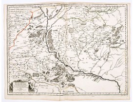
Location: 1665
Published: Paris, 1665
Size: 425 x 575mm.
Color: In original o/l colours.
Condition: Good and dark impression. Light paper creasing along center fold. Paper slightly browned. Else in good condition.
Scarce and fine map after Guillaume Le Vasseur de Beauplan (c. 1600 — December 6 1673), who was a French cartographer, engine..
0€
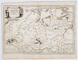
Location: 1665
Published: Paris, 1665
Size: 385 x 575mm.
Color: In original o/l colours.
Condition: Good and dark impression. Short margins as issued. Paper slightly browned. Else in good condition.
Scarce and fine map after Guillaume Le Vasseur de Beauplan (c. 1600 — December 6 1673), who was a French cartographer, engine..
0€
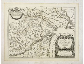
Location: 1686
Published: Rome, 1686
Size: 418 x 540mm.
Color: In original o/l colours.
Condition: Good and dark impression.
Scarce map of the region between the confluence of the Danube, Nistru and Dnieper Rivers along the Black Sea - present-day Uk..
500€
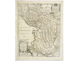
Location: 1689
Published: Rome, 1689
Size: 544 x 430mm.
Color: In original o/l colours.
Condition: Good and dark impression.
Scarce Vignola's map of Albania, with decorative cartouches for the title (bottom left) and dedication (top right). The well..
450€
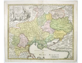
Location: 1720
Published: Nuremberg, 1720
Size: 480 x 572mm.
Color: In original colours.
Condition: Some very minor discolouration along center fold. Fine.
Homann's map is based upon Beauplan's general map of Ukraine but depicts the political changes of the preceding years. The ca..
1,200€
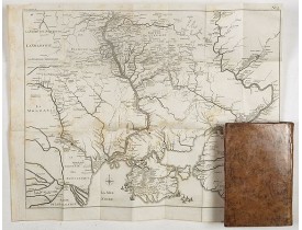
Location: 1772
Published: Lyon, chez Jean-Marie Bruyser, 1772
Size: 190 x 120 mm.
Color: Uncoloured
Condition: 2 volumes in-8 de XLIV, (4), 366 pp. ; (1) f., 428 pp. ; veau blond, dos lisse ornés, pièces de titre citron, tranches rouges (reliure de l'époque).
MANSTEIN, Christoph Hermann von. - Mémoires historiques, politiques et militaires sur la Russie. - 64523 - Russia - MANSTEIN..
2,500€
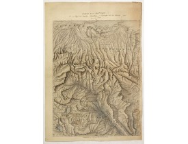
Location: 1823
Published: Paris, ca. 1823
Size: 470 x 340mm.
Color: In original colours.
Condition: Pen and brown ink with water colour on thick paper. Some missing areas in right hand margin reinforced. Paper slightly age toned, generally very good. 525 x 370mm.
Detailed manuscript map of Georgia, based upon an 1823 map by Jules Klaproth. The map depicts the rugged terrain of Georgia a..
4,000€
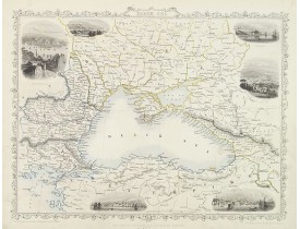
Location: 1850
Published: London, 1850
Size: 235 x 310mm.
Color: In original o/l colours.
Condition: Very good condition.
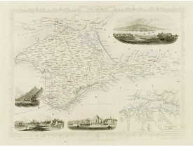
Very detailed and decorative map with six black and white vignette illustrations.This is an attractive engraved map, one of t..
80€
Location: 1858
Published: London, 1858
Size: 250 x 325mm.
Color: In original o/l colours.
Condition: Very good condition.
Decorative steel engraved map of the Crimea. The last Tallis map of Crimea, published circa 1858 by The London Printing and P..
100€
Location: 1860
Published: Paris, Lemercier, c.1860
Size: 195 x 276mm.
Color: In original colours.
Condition: Lithography on tinted grounds finished by hand. Some light marginal discolouration. Good condition.
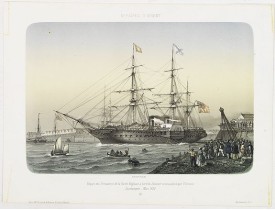
Beautiful lithography of the departure of the British steamboat "l'Orenoco" from Southampton in May 1854, with soldiers leavi..
250€
Location: 1865
Published: Paris, Wild, c.1865
Size: 195 x 294mm.
Color: In original colours.
Condition: Lithography on tinted grounds. Upper and lower margin cut off, shaving text in title and key.
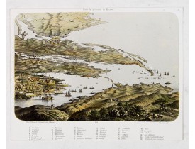
Panoramic View of Nicolaieff and Kerson Bay in the Ukraine. Including a numbered key (1-46) in lower part, mentioning all pla..
200€
Showing 1 to 11 of 11 (1 Pages)

