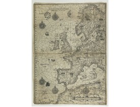
Carte marine
Location: 1584
Date: Amsterdam, 1584
Format: 605 x 525 mm.
Color: In original colours with refreshments.
Condition: Dutch text on verso. Some browning, foxing. A few worm holes filled in. The Europe chart is larger than the other charts in the atlas, as often the case the lower margin is trimmed affecting part of the grade scale. Dark impression.
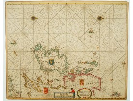
This general chart of north-western Europe and the surrounding coastal waters is from the rare pilot-guide De Spiegel der Z..
19 000€
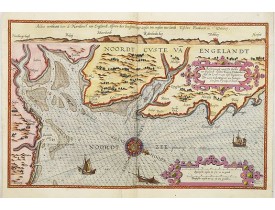
Location: 1585
Date: Leiden, Plantijn, 1585
Format: 325 x 510mm.
Color: Col.
Condition: Paper slightly age-toned. Repair of a few marginal tears. Else good condition.
A detailed description of the northern coast of England. West to the top. Milleage cartouche has no Latin captures. Decorated..
2 000€
Location: 1585
Date: Leiden, Plantijn, 1585
Format: 325 x 510mm.
Color: Col.
Condition: Marginal discolouration and paper slightly age-toned. Left and right margins underlaid. Else good condition.
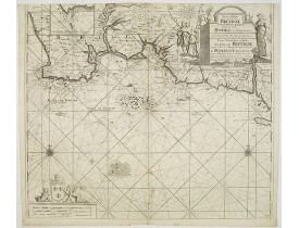
A detailed description of the English channel coastland. Decorated by a colourful title cartouche and scale cartouche, one ..
3 000€
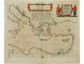
Location: 1650
Date: Amsterdam, 1650
Format: 415 x 545mm.
Color: Beau col. ancien.
Condition: Paper slightly age-toned. Repair of split along centerfold.
Very decorative chart of Mediterranean. Decorative title cartouche on the upper right corner...
2 400€
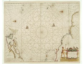
Location: 1658
Date: Amsterdam, 1658
Format: 549 x 633mm.
Color: Beau col. ancien.
Condition: Papier légèrement jauni. Contrecollé sur papier à l'origine. Bel exemplaire.
Rare chart of the Atlantic Ocean, from the first edition of Hendrick Doncker's Zee-Atlas, of which no surviving example is kn..
2 250€
Location: 1666
Date: Amsterdam, 1666
Format: 433 x 520mm.
Color: Col.
Condition: On double-ply paper as issued. Paper very mildly age-toned, as usual. A good and dark impression.
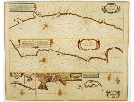
Six charts on one sheet. The two upper charts covering an area from Cape Blanc to Casablanca. In lower part four insets with..
600€
Location: 1666
Date: Amsterdam, 1666
Format: 430 x 540mm.
Color: Noir et blanc.
Condition: In good condition.
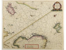
Detailed pair of sea charts of Norway, Finland, Iceland, Spitsbegen and part of Scotland in old color. The chart includes a d..
1 250€
Location: 1666
Date: Amsterdam, 1666
Format: 450 x 540mm.
Color: Col.
Condition: On double-ply paper as issued. Paper very mildly age-toned, as usual. A good and dark impression.
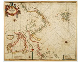
An eye-catching chart of Scandinavia, including Russia, with west to the topPieter Goos (ca. 1616-1675) was one of the most i..
1 250€
Location: 1666
Date: Amsterdam, 1666
Format: 422 x 518mm.
Color: Col.
Condition: On double-ply paper as issued. Paper very mildly age-toned, as usual. A good and dark impression.
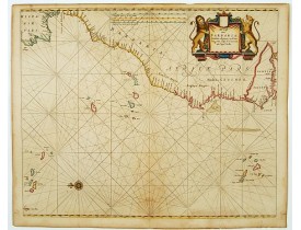
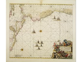
An eye-catching chart of the north western coast of Africa. Including Canary Islands, Cape Verde Islands and Azores. Pieter G..
600€
Location: 1673
Date: Amsterdam, 1673
Format: 443 x 546mm.
Color: Col.
Condition: On double-ply paper as issued. Paper very mildly age-toned, as usual. A good and dark impression.
An eye-catching chart of Ireland, including north of England and Scotland, with West to the top. Pieter Goos (ca. 1616-1675) ..
1 350€
Location: 1675
Date: Amsterdam, 1675
Format: 486 x 560mm.
Color: Beau col. ancien.
Condition: In very attractive original colours. Laid down on canvas for protective reasons.
A superbly decorative chart , oriented with north to the left of the sheet, covering the coasts of Central America, Peru, Ch..
1 100€
Location: 1709
Date: Amsterdam, 1709
Format: 505 x 575mm.
Color: Noir et blanc.
Condition: Petites taches brunes ; coupé en haut, à l'intérieur du filet d'encadrement.
Carte marine publiée dans "De Groote Nieuwe Vermeerderde Zee-Atlas ofte Water-Waereld. Vertoonende in zig alle de Zee-Kusten ..
600€
Location: 1710
Date: Amsterdam, ca. 1710
Format: 510 x 883 mm.
Color: Coloris ancien.
Condition: Good and dark impression. Some very light browning. Generally in very fine condition. On two joined sheets.
Highly decorative large sea chart of Corsica, Sardinia and Elba, including multiple sailing ships, compass roses, cartouche, ..
3 800€
Location: 1710
Date: Amsterdam, c.1710
Format: 505 x 575mm.
Color: Col.
Condition: Good condition. Printers creases in lower left corner.
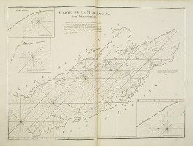
Fine sea chart of the southern part of the Barents Sea, oriented to the West. With 5 inset maps: - Swetenoes, de Kust van Lap..
500€
Location: 1710
Date: Amsterdam, ca.1710
Format: 452 x 575mm.
Color: Col.
Condition: Bonne impression.
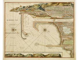
Carte nautique du port de Cette, représentative de la cartographie hollandaise. Ornée de 2 profils de la côte cettoise. - A v..
800€
Location: 1712
Date: Amsterdam, after 1669-1712
Format: 434 x 520mm.
Color: Noir et blanc.
Condition: Paper slightly age-toned. With some plate scratching and ink toning.
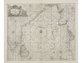
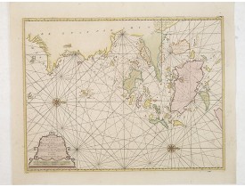
Rare chart of the Indian Ocean, with compass roses and system of rhumb lines, soundings and anchorage's. Many place names. T..
1 900€
Location: 1734
Date: London, William Mount & Thomas Page, 1734
Format: 518 x 865mm.
Color: Col.
Condition: In very good condition.
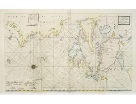
A very fine sea chart of China's Zhejiang Province, from the celebrated Third Book of 'The English Pilot'This elegant and lar..
2 500€
Location: 1751
Date: Amsterdam, 1728 - 1751
Format: 590 x 996mm.
Color: Beau col. ancien.
Condition: In very good condition. Printed on two joined sheets. Heavy paper. Some light dis colouration.
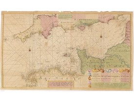
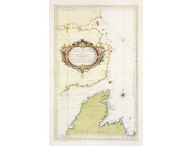
This rare chart shows the Chanel between England et France. With explanation cartouche and ornamentally surrounded title-cart..
900€
Location: 1751
Date: Amsterdam, 1751
Format: 585 x 984 mm.
Color: Beau col. ancien.
Condition: Printed on two joined sheets. In very good condition. Some small wormholes and paper thinning along foldings. Paper very slightly browned.
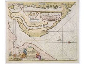
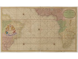
Rare two sheet sea chart of the coasts of Brazil, West Africa and South Africa, published by Johannes Van Keulen (the younger..
1 750€
Location: 1753
Date: Amsterdam, 1753
Format: 410 x 535mm.
Color: Col.
Condition: Paper slightly age-toned. Several wormholes filled in, hardly notable. Very good throughout.
A rare and finely engraved and detailed chart of China's Zhejiang Province. Very rare: only included in 6th volume (so-called..
4 500€
Location: 1753
Date: Paris, 1753
Format: 559 x 872mm.
Color: Col.
Condition: Printed on heavy paper. Overall in very good condition.
A well engraved and highly detailed chart that was issued in L'hydrographie françoiseand is dated 1753.Seal of the Depot de M..
1 000€
Location: 1753
Date: Paris, 1753
Format: 486 x 664mm.
Color: Noir et blanc.
Condition: In good condition. Paper very slightly age-toned.
Chart of the Red Sea. With 3 inset maps of "Shake Omare, Goofs and Gedan. D'Après De Mannevillette (1707-1780) was one of Fra..
425€
Location: 1767
Date: Paris, 1767
Format: 559 x 872mm.
Color: Col.
Condition: Printed on heavy paper. Overall in very good condition.
A well engraved and highly detailed chart, corrected to 1767. Elaborate hand-coloured cartouche, rhumb lines. Shows northern..
750€
Location: 1769
Date: Rome 1769
Format: 569 x 845mm.
Color: Col.
Condition: Some light browning in places. Marginal water staining on a few places affecting engraved area, can easily be removed. Good and dark impression.
Fine chart of the entrance of the river Thames up to London. To the north Ipswich and to the south Dover. A highly accomplish..
700€

