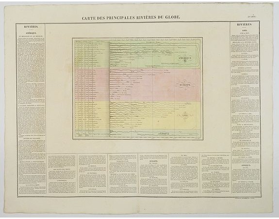
BUCHON, J. A. - Carte des Principales Riviers du Globe.

BUCHON, J. A. - Carte des Principales Riviers du Globe.
Published: Paris, 1825
Size: 455 x 635 mm.
Color: In original colours.
Condition: In mint condition. Wide margins etc.
Description
A nice detailed depiction of the principal rivers of the world from Buchon's Atlas Gégraphique Statistique, historique et chronologique des deux Ameriques et des isles adjacentes; traduit de l'atlas exécuté en Amerique d'aprés Lesage, avec des nombreuses corrections et augmentations, Paris 1825. An elegant Parisian publication of the Carey & Lea atlas of the Americas, first published in 1822 in Philadelphia.
The plate places each set of rivers into a separate 'continent block of color' with comparisons to each other. The map is surrounded by
letterpress French text, giving good detail concerning the major rivers
in each continent. The Americas (13), Europe (12), Asia (14) and Africa
(2).
200€
- Reference N°: 44081
7920 views
 Click on image to zoom
