Brittany
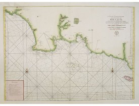
Location: 1757
Published: Paris, Desnos, 1757
Size: 275 x 363mm.
Color: Uncoloured.
Condition: Mouillures en marge inf., pli central jauni.
Couvre la région de Lambaban à la Baye de Forest en englobant les Roches de Penmark et l'Isle aux Moutons. Tiré du "Recueil d..
300€
Location: 1764
Published: Paris, 1764
Size: 568 x 870mm.
Color: Coloured.
Condition: Belle impression sur papier fort. Infimes taches grises en marge.
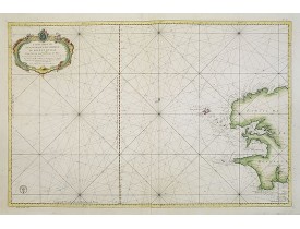
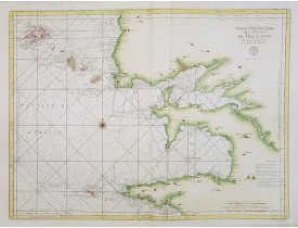
Très belle carte marine du Finistère finement aquarellée, dressée par Jacques Nicolas Bellin, le père, nommé "hydrographe du ..
450€
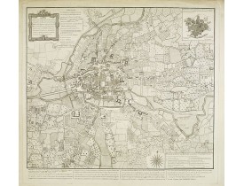
Location: 1766
Published: Paris, 1766
Size: 567 x 495mm.
Color: Uncoloured.
Condition: En 15 sections montées sur toile et plié, formant un plan de 567 x 495 mm. Marge supérieure coupée. Papier légèrement bruni. La Loire a été aquarellée à l’époque.
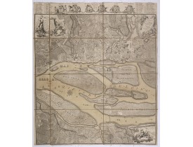
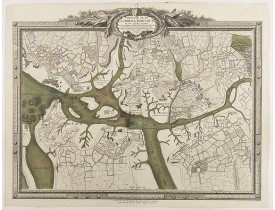
Rare plan de Nantes, figurant les travaux d’agrandissement et d’embellissement de la ville réalisés entre 1757 et 1766 : l’îl..
750€
Location: 1771
Published: Paris, 1771
Size: 505 x 660mm.
Color: Uncoloured.
Condition: Mer et rivière coloriées en vert. Petite consolidation au centre près du pli central. Sur papier fort.
Plan de Lorient et Port-Louis, orienté vers l'Ouest, gravée par Chalmandrier. Se vend à Paris chez l'Auteur Ruë St. Jacques p..
3,000€
Location: 1773
Published: Paris, 1773
Size: 600 x 810mm.
Color: Coloured.
Condition: Belle impression sur papier fort. Très bonne condition générale. Bel exemplaire aux contours aquarellés de rose, vert et jaune.
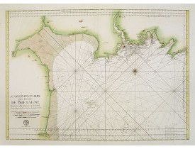
Très belle carte marine publiée dans Le Neptune françois/ou recueil des cartes marines . Eschelle de 10 lieues marines de Fra..
700€
Location: 1773
Published: Paris, 1773
Size: 570 x 805mm.
Color: Coloured.
Condition: Belle impression sur papier fort. Bel exemplaire aux contours aquarellés de vert et jaune.
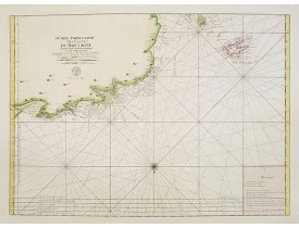
Très belle carte marine publiée dans "Le Neptune françois/ou recueil des cartes marines". Eschelle de 8 lieues marines de Fr..
800€
Location: 1773
Published: Paris, 1773
Size: 580 x 805mm.
Color: Coloured.
Condition: Belle impression sur papier fort. Très bonne condition générale. Bel exemplaire aux contours aquarellés de rose, vert et jaune.
Très belle carte marine publiée dans "Le Neptune françois/ou recueil des cartes marines". Eschelle de 10 lieues marines de F..
500€
Location: 1773
Published: Paris, 1773
Size: 584 x 817mm.
Color: Coloured.
Condition: Belle impression sur papier fort. Exemplaire aux contours aquarellés de rose, vert et jaune. Habile restauration dans la partie sup. gauche affectant la carte.
Très belle carte marine publiée dans Le Neptune François ou recueil des cartes marines . Eschelle de 10 lieues marines de Fra..
600€
Location: 1782
Published: Rennes, 1782
Size: 600 x 625mm.
Color: Uncoloured.
Condition: Exemplaire sur papier fort.
Plan de Rennes dédié à Monsieur Caze Baron de la Bove, levé par Forestier, gravé et réduit par Ollivault. Se vend à Rennes ch..
2,000€
Location: 1782
Published: Paris, 1782
Size: 325 x 430mm.
Color: In original o/l colours.
Condition: Good condition. Printed on heavy paper.
Very detailed map of the Bay of Biscay in French Brittany including the islands of Belle Isle, Groix, Glenans islands and the..
150€
Location: 1784
Published: Venise, 1776 - 1784
Size: 440 x 580 mm.
Color: In original o/l colours.
Condition: Exemplaire sur papier fort. Pâles mouillures en marge inférieure. - Water staining in lower margin, for the rest in good condition.
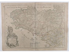
SANTINI, P. / REMONDINI, M. - Carte du Gouvernement de Bretagne. - 36296 - Brittany - SANTINI, P. / REMONDINI, M. - Carte du..
300€
Location: 1790
Published: Paris, 1790
Size: 500 x 575mm.
Color: In attactive original colours.
Condition: Carte repliée. Pâle mouillure et petit trou dans la marge droite.Très grandes marges.
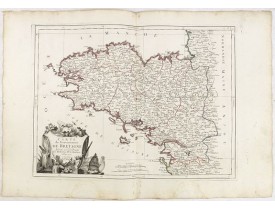
Carte du département du Morbihan dédrété le 30 Janvier 1790 par l'Assemblée nationale Divisé en 9 Districts et en 71 Cantons...
250€
Location: 1790
Published: Paris, 1790
Size: 697 x 395mm.
Color: In original o/l colours.
Condition: Papier légèrement bruni. - Paper age tonned. Generally in good condition.
Carte de la Bretagne divisée en ses cinq départements et ses quarante cinq Districts publiée en 1790. Le décret voté en 1789 ..
750€
Location: 1790
Published: Paris / Rennes, 1790
Size: 495 x 695mm.
Color: In original o/l colours.
Condition: Paper age toned and some foxing in upper right and left corners. Generally in good condition.
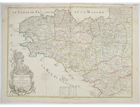
Rare map of Bretagne. Later with changed title also published by Jean.Mondhare, active at rue St.Jacques a l'Hotel Saumur, w..
900€
Location: 1806
Published: Paris, Prudhomme, Levrault, Debray, 1806
Size: 146 x 96 mm.
Color: In original o/l colours.
Condition: Belle impression. Marge gauche courte
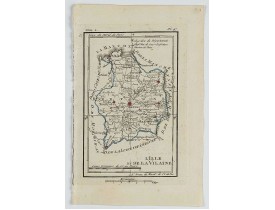
DELAPORTE, L'Abbé. - Carte du Département de la Vilaine. - 62252 - Brittany - DELAPORTE, L'Abbé. - Carte du Département de l..
20€
Location: 1806
Published: Paris, Prudhomme, Levrault, Debray, 1806
Size: 96 x 150 mm.
Color: In original o/l colours.
Condition: Belle impression. Papier très légèrement jauni. Infimes rousseurs.
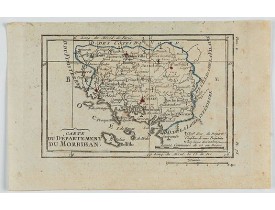
DELAPORTE, L'Abbé. - Carte du Département du Morbihan. - 62235 - Brittany - DELAPORTE, L'Abbé. - Carte du Département du Mor..
30€
Location: 1840
Published: Paris, ca. 1840
Size: 255 x 180mm.
Color: Uncoloured.
Condition: Lithography. With marginal spotting. Else in very good condition.
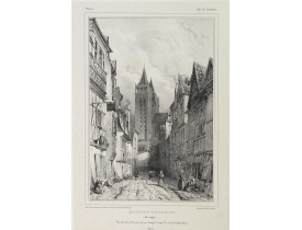
A street view in Quimper in Bretagne. Made "after nature" by Serda in 1837...
80€
Location: 1840
Published: Paris, ca. 1840
Size: 175 x 260mm.
Color: Uncoloured.
Condition: Lithography. Light marginal spotting. Else in very good condition.
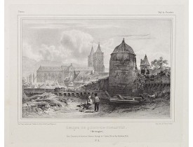
A city view of Quimper in Bretagne and its church. Made "after nature" by Serda in 1837...
80€
Location: 1841
Published: Paris, M. B. Dusillon, ca. 1841
Size: 480 x 675mm.
Color: In original o/l colors.
Condition: Paper slightly age toned but generally in very good condition. The maps on strong paper. Size of the sheet 560mm x 740mm
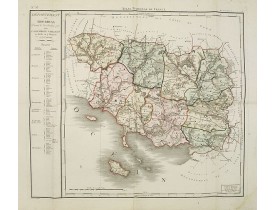
Detailed map of Bretagne from "Atlas général de France divisée en départements par Donnet et Monin ; avec armes et vues de Ch..
300€
Location: 1841
Published: Paris, M. B. Dusillon, ca. 1841
Size: 480 x 675mm.
Color: In original o/l colors.
Condition: Paper slightly age toned but generally in very good condition. The maps on strong paper. Size of the sheet 560mm x 740mm.
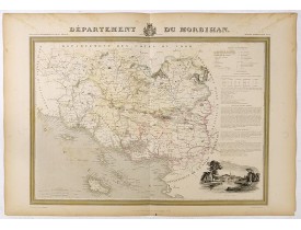
Detailed map of Morbihan, from "Atlas général de France divisée en départements par Donnet et Monin ; avec armes et vues de C..
300€
Location: 1841
Published: Paris, M. B. Dusillon, ca. 1841
Size: 480 x 675mm.
Color: In original o/l colors.
Condition: Paper slightly age toned but generally in very good condition. The maps on strong paper. Size of the sheet 560mm x 740mm.
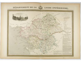
Detailed map of Loire inférieure, from "Atlas général de France divisée en départements par Donnet et Monin ; avec armes et v..
180€
Location: 1841
Published: Paris, M. B. Dusillon, ca. 1841
Size: 675 x 480mm.
Color: In original o/l colors.
Condition: Paper slightly age toned but generally in very good condition. The maps on strong paper. Size of the sheet 560mm x 740mm.
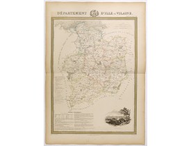
Detailed map of Ille et Vilaine, from "Atlas général de France divisée en départements par Donnet et Monin ; avec armes et vu..
180€
Location: 1841
Published: Paris, M. B. Dusillon, ca. 1841
Size: 480 x 675mm.
Color: In original o/l colors.
Condition: Paper slightly age toned but generally in very good condition. The maps on strong paper. Size of the sheet 560mm x 740mm.
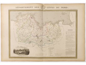
Detailed map of Côtes du Nord, from "Atlas général de France divisée en départements par Donnet et Monin ; avec armes et vues..
180€
Location: 1842
Published: Ca. 1842
Size: 260 x 455mm.
Color: In attactive original colours.
Condition: Plan manuscrit, plume et aquarelle. Infimes rousseurs.
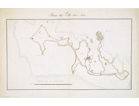
Plan manuscrit de l'Ile-de-Sein qui faisait à l'origine partie d'un recueil d'histoire naturelle manuscrit réalisé par le Che..
1,500€


![TARDIEU, P-F. / MENTELLE, E. - [No tittle] Bretagne, Port et Rade de Brest TARDIEU, P-F. / MENTELLE, E. - [No tittle] Bretagne, Port et Rade de Brest](https://www.loeb-larocque.com/eshop/image/cache/catalog/image/new_upload/32664-275x210h.jpg)
