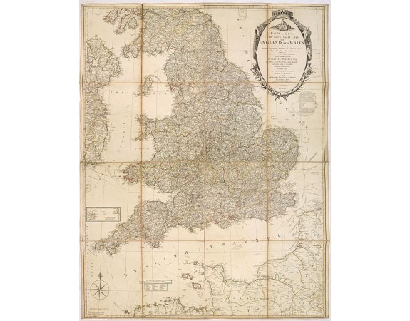
BOWLES, C. / CARVER - Bowles's new four-sheet map of England and Wales. . .

BOWLES, C. / CARVER - Bowles's new four-sheet map of England and Wales. . .
Published: London, 1801
Size: 385 x 718mm.
Color: In original o/l colours.
Condition: Slight browning along centre fold with repairs of several splits, no paper missing.
Description
Bowles's new four-sheet map of England and Wales: Comprehending all the Cities, Boroughs, Market and Sea-Port Towns, Villages, Lakes, Rivers, Forests, Ruins, Canals, and Principal Seats of the Nobility; with the Roads ... To which is added The South Part of Scotland, and East of Ireland; with the Maritime Provinces of France from Dunkirk to Brest ...
Bowles & Carver Published as the act directs 2 Jan.1801.
Bowles & Carver Published as the act directs 2 Jan.1801.
600€
- See other items by this publisher: BOWLES, C. / CARVER
- Reference N°: 32162
955 views
 Click on image to zoom
