Books - Rare & Modern
Location: 1566
Published: Lyon, Antoine Gryphe, 1566
Size: 340 x 220mm.
Color: Uncoloured.
Condition: Petit in-folio de 4 ff., 365 pp. & 12 ff.n.ch. , veau fauve, plats conservés ornés d'un médaillon doré au centre, filet doré encadrant les plats. (reliure de l'époque). Reliure en partie restaurée, dos et coins refaits. Coupes et plats frottés.
Unique édition de cet ouvrage, rare lorsqu'il est complet de ses planches. L'illustration entièrement gravée sur bois compren..
3,500€
Location: 1618
Published: Amsterdam, Johannes Janssonius, 1618
Size: 130 x 180mm.
Color: Uncoloured
Condition: Oblong 8vo (text) & small oblong 4to (plates) (13 x 18 cm). With 2 portraits, 8 engraved armorial plates. The first 2 sheets of text are cropped and have extended lower margins. These are followed by 30 engraved views or scenes most with a Latin text at the foot. Interleaved. Contemp. calf, gold-tooled spine.
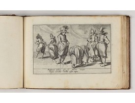
Charming book illustrated with portraits of Willem of Orange and Prince Maurits and , 8 engraved armorial plates. Followed by..
4,500€
Location: 1669
Published: Paris, l'Auteur, s.d., ca.1669
Size: 210 x 290mm.
Color: Uncolored
Condition: In-8 oblong ; veau brun (reliure de l'époque restaurée).Traces de mouillures sur le contreplat. Exemplaire frais intérieurement malgré d'infimes trous de vers marginaux n'affectant pas les cartes. - 3 parts in one. 8vo oblong, contemp. Brown calf. Binding used. Small marginal wormholes not affecting the maps, otherwise maps in very good condition. The general title "Diverses cartes et tables… is lacking.
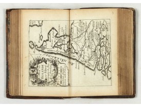
A rare atlas in three parts. Including a fine map of China, Taiwan and Korea "Carte du voyage des Ambassadeurs de la Compagni..
7,000€
Location: 1672
Published: Paris, P. Duval, ca. 1667-1672
Size: 142 x 90mm.
Color: Uncoloured.
Condition: Contemp. brown calf with gilt raised spine. 4 parts in 1 vol. Paris: P. Duval around 1667-72. 13.5 x 8.3 cm. With additional 5 double page engraved titles, 43 maps and 28 double engraved text sheets. Partly slight marginal tears, minor signs of wear and a little age-spotted in the 4th volume are missing the panels of the province of Artois and Franche comté.
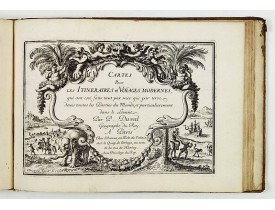
Compilation of Duval's Pocket Atlas, with an archbishoprics and dioceses description of the world, here right at the beginnin..
3,000€
Location: 1673
Published: London : Printed by the Author at his house in White-Friers, 1673
Size: 395 x 265mm.
Color: Uncoloured.
Condition: Folio. 327, 18, 106pp. engraved frontispiece, folding map of China and plan of Canton, 18 full page & 93 text page copper etchings, interior slightly browned and spotted.
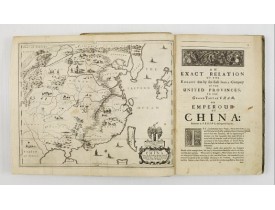
FIRST ENGLISH TEXT EDITION of this most important and early resource on China and the Chinese. Three parts in one folio by Jo..
8,500€
Location: 1689
Published: Paris, 1664-1689
Size: 480 x 370mm.
Color: Uncoloured.
Condition: In-folio de 28 planches ; veau fauve marbré, encadrement de triple filet doré, armoiries royales frappées or au centre des plats, dos à nerfs orné du chiffre royal couronné répété 5 fois au sein de fleurs de lys et roulette fleurdelysée, roulette dorée sur les coupes, roulette intérieure dorée, tranches dorées (reliure de l'époque).
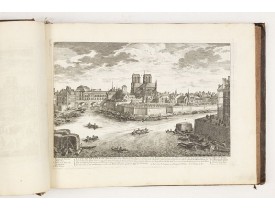
Recueil sans titre contenant 23 planches gravées par Israël Silvestre, dont 14 vues de Versailles et 9 autres vues de Marsal,..
12,500€
Location: 1690
Published: Paris, Nicolas Langlois, ca. 1690
Size: 290 x 390mm.
Color: Uncoloured.
Condition: In-folio oblong de 232 planches ; veau brun, dos à nerfs orné, tranches mouchetées (reliure de l'époque). Reliure frottée, coins et coiffes émoussés. Coiffe en pied en partie détachée. Dos frotté et petit manque de peau au niveau de la pièce de titre. Quelques planches ont été réemmargées pour les adapter à la dimension du volume.
Recueil de vues de Perelle père et fils dont la composition est la suivante : - Vues des belles maisons de France (10 pl.). -..
8,500€
Location: 1700
Published: Amsterdam, 1700
Size: 415 x 265mm.
Color: Uncolored
Condition: 2 Volumes in contemp. brown calf, spine richly gilt in compartments, 2 red title-labels. Engraved titles, 2 portraits, 3 double-page plates, and over 400 engravings.
A very good example of the collected works of the most celebrated Dutch author of the seventeenth century. Illustrated with o..
1,900€
Location: 1730
Published: Augsbourg, ca. 1730
Size: 390 x 240mm.
Color: Uncoloured.
Condition: In-folio de 157 planches ; plein vélin, dos à 5 nerfs, tranche mouchetée, titre au dos inscrit à la plume en italien (reliure postérieure). Coins frottés. Ex-libris armorié avec la devise : "Bene vivere et laetari" (bien vivre et se réjouir).
Rare recueil composite d'estampes publiées à Augsbourg par les célèbres éditeurs Martin Engelbrecht, Ioh. Georg Hertel et les..
9,500€
Location: 1734
Published: Venice, 1734
Size: 200 x 130 mm.
Color: Uncoloured.
Condition: 8vo. Contemp. vellum. 512pp. Illustrated with 4 plates including one with Japanese people. 1 folding view of Deshima and two folding maps of Japan and the Philippines with Italian text after I. Tirion.
This most uncommon work provides an interesting focus on the dissemination of the outline of Japan provided by Kaempfer. Besi..
1,000€
Location: 1742
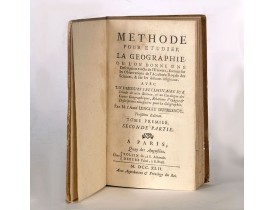
Published: Paris, 1742
Size: 170 x 100mm.
Color: Uncoloured.
Condition: Printed title, 252pp. Good condition.
Third edition, Voume I, second part containing "Catalogue des meilleures cartes geographiques", starting with a list of globe..
375€
Location: 1748
Published: Augsbourg, 1748
Size: 205 x 170mm.
Color: In attractive original colours.
Condition: Contemp. half calf spine with gilt label. Fronti, title page,pp. 12,9,cxixi; 368;3,30 double page maps414,7,140, table 19pp. illustrated with 17 folding maps, 556,10pp.
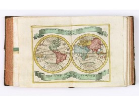
A rare manual and containing geographical descriptions of all continents. Illustrated with 30 very finely engraved and colour..
6,000€
Location: 1750
Published: Delft, 1712-1750
Size: 580 x 430mm.
Color: Uncoloured
Condition: Large-folio. Cont. mottled calf with raised bands, richly decorated. gilt back, gilt lettering 'Delfland' on both sides, surrounded by 2 gilt decorated. borders. Engraved title in 2 parts, engr. general map (2nd, altered edition, dated 1750) 25 numbered maps.
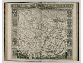
The so-called Kruquius map is a wall-map of the Delfland water board district. The map consists of 25 engraved map sheets. Se..
4,500€
Location: 1760
Published: Ballard, Paris, 1760
Size: 97 x 60mm.
Color: In attactive original colours.
Condition: In-16. 1 volume in 16 relié en plein maroquin rouge, dos à nerfs fleurdelysé, plats richement ornés. Bel exemplaire entièrement gravé et illustré d’un frontispice, 1 titre, catalogue 2ff., avertissement 1 ff. et 26 cartes sur double page rehaussées en couleur.
Les cartes, gravées par Durand et Le Roy, portent toutes le nom de l’auteur et ont été réduites par Giovanni Antonio Battista..
2,200€
Location: 1763
Published: Paris, Savoye, Despilly, Duchesne, Dessaint et Saillant, Guillyn, Grange et Dufour, et l'Auteur, 1763
Size: 275 x 215mm.
Color: Uncoloured.
Condition: In-4 de VIII-XXXIV-122-XII pp. et (1) f. ; titre gravé, une planche à double page et 25 cartes aquarellées à double-page ; demi-veau fauve, dos à cinq nerfs orné de roulettes dorées, étiquette de maroquin rouge, tranches rouges. Plats recouverts de papier (reliure restaurée). Les pp. 21 à 24 reliées après la p. 28, 2 cahiers numérotés 97 à 100 mais avec un autre texte, les pp. 105 à 108 n'existent pas mais pas de manque dans le texte.
Illustré d'un titre gravé à double-page, d'une planche gravée à double-page (Statue Equestre de Louis le bien Aimé) et de 25 ..
1,200€
Location: 1763
Published: Amsterdam, Leipzig, 1763
Size: 242 x 283 mm.
Color: Uncoloured
Condition: (2pp), title page with engraved vignette, table of contents, 630pp, (2pp), 9 fold-out maps (cpl.), contemporary full calf leather binding with ribbed spine with floral motif, and a mention of title and volume, red edges.<br />Paper very slightly browned,
Volume 21 of this informative publication with a description of the discoveries, conquests, and settlements by the Portuguese..
1,100€
Location: 1771
Published: London, S. Crowder and S. Gamidge, 1771
Size: 310 x 200mm.
Color: Uncoloured.
Condition: [iii], 48 p., [8], 64pp. many leaves of have engraved plates, illustrated with : ill., 7 maps. ; 31 cm (fo.). Third edition.
Two works bound together. Small folio. (c.30 x 20 cm). 2ll.+pp.48; 2ll.+64. Bound in modern half calf over marbled boards, re..
1,750€
Location: 1773
Published: Zurich, Johann Kaspar Ziegler, 1754-1773
Size: 206 x 167 mm.
Color: Uncoloured.
Condition: 4to. 3 parts in 3 volumes, titles printed in red and black, frontispiece and 326 engraved views, plans and maps (most folding). Contemporary vellum, titles printed in gold on spines. - 1rst volume : [1] leaf, [2], VIII, [34], 15, pp, page 3 to 98 (page 1 missing), page 103 to 270 (two times pages 193 to 196), [6] pp. - 2nd volume : [2] leaves, page 173 to 257 (wrong numbered), page 459 to 476, 277 to 442 (wrong numbered). - 3rd volume : [1] leaf, [6], 8 pp, page 1 to 22, 25 to 30, 34 to 38, 41 to 59 (recto), 224 (verso) to 225, 62 (verso) to 70.
HERRLIBERGER, D. - Neue und vollständige Topographie der Eidgnossschaft, in welcher die in den dreyzehen und zugewandten auc..
5,000€
Location: 1788
Published: Potzdam, Strasbourg, Paris, 1788
Size: 590 x 640 mm.
Color: In original o/l colours.
Condition: 4to. 92pp. with large folding map. Contemp. mottled calf, with raised spine in 6 compartments. Richly gilted with coats of arms of Ducs of Luynes, and title on red morocco label.
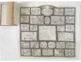
MULLER, L. - Tableau des guerres de Frédéric le Grand: ou plans figurés de vingt-six batailles rangées, ou combats essentiel..
4,500€
Location: 1790
Published: Lyon, Bruyset Père & Fils, 1790
Size: 130 x 170mm.
Color: In original colours.
Condition: Small 8vo. Contemporary brown calf.
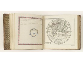
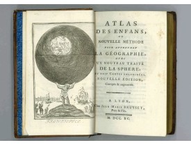
Atlas for the children with 24 maps of the World and continents and maps of European countries. Size of the maps: 13x17cm siz..
700€
Location: 1811
Published: Paris, Treuttel et Wurtz, 1811
Size: 200 x 130mm.
Color: Uncoloured.
Condition: In-8 de (2) ff., X -160 pp., 1 frontispice gravé et 4 tableaux dépliants gravés par Miller ; veau jaspé, dos plat orné de motifs dorés, roulette dorée sur les coupes (reliure de l'époque). Dos refait.
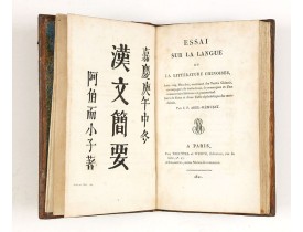
Rare première édition. "Médecin (Jean-Pierre Abel-Rémusat), il étudie le chinois et publie un Essai sur la langue et la litté..
2,500€
Location: 1816
Published: Paris, Desray, 1816
Size: 690 x 520mm.
Color: In attractive original o/l colours.
Condition: Large folio (69 x 52 cm), contemp. half-calf, spine damaged. Containing 8 general one-sheet maps, and 8 detailed four-sheet maps. Printed on heavy paper.
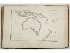
Large folio atlas containing 8 general one-sheet maps, and 8 detailed four-sheet maps: Containing2 World maps- "Mappe-monde s..
5,750€
Location: 1824
Published: New-Orleans, Benjamin Levy, 1824
Size: 300 x 190 mm.
Color: Uncoloured
Condition: 4°. 164 pp. Half gold Havana calf leather, spine ribbed and decorated, marbled edges (original binding).
LIVINGSTON, E. - System of Penal Law, prepared for the State of Louisiana ; comprising codes of offenses and punishments, of..
3,000€
Location: 1839
Published: Florence, Gaspard Ricci, 1839
Size: 192 x 120 mm.
Color: In original o/l colours.
Condition: 8vo. (1), 288 pp. Original publisher's paperboard. With 1 engr. folding plan and 12 copper plates with views in Florence. Very clean copy.
BULGARINI, A. - Guide de Florence et de ses environs Redige´ sur un plan entierement nouveau par l'Abbé A. Bulgarini et Trad..
500€
Location: 1850
Published: Paris, ca. 1850
Size: 4to.
Color: Uncolored.
Condition: In-4 oblong de (1) f. de titre et 21 pl. ; pleine toile bordeaux, titre et adresse bibliographique dorés sur le plat supérieur, tranches dorées (cartonnage de l'époque). Cartonnage passé et taché, rousseurs éparses tout au long de l'ouvrage.
GORSE. - Luchon et ses environs. - 23749 - - GORSE. - Luchon et ses environs. - 23749 -..
400€


![SILVESTRE, I. - [Plans et vues du château Versailles et autres villes de France.] SILVESTRE, I. - [Plans et vues du château Versailles et autres villes de France.]](https://www.loeb-larocque.com/eshop/image/cache/catalog/image/new_upload/13792-275x210h.jpg)
