BLAEU, W.
 Click on image to zoom
Location: 1645
Published: Amsterdam 1645
Size: 382 x 509mm.
Color: Original colours.
Condition: In good condition. Dark impression.
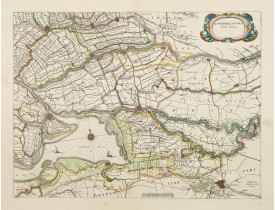
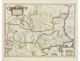
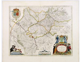
The count ship of Holland was subdivided into a number of bailiwicks. The most southerly bailiwick, bordering on Brabant was ..
350€
Location: 1645
Published: Amsterdam, ca. 1645
Size: 370 x 485mm.
Color: In original colours.
Condition: Paper slightly age-toned. A tear on 7,5 cm on the center fold.
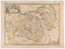
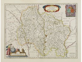
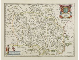
A very decorative map with beautiful cartouches of a province of France by one of the most famous map publishers. Centered on..
120€
Location: 1647
Published: Amsterdam, 1647
Size: 385 x 500mm.
Color: Original colours.
Condition: Very good condition.
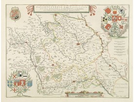
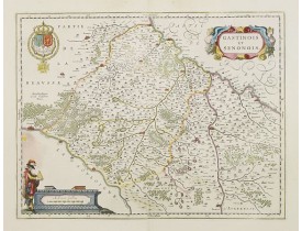
A very decorative map of the Gallic Flanders or Walloon Flanders comprising the Castellanies of Lille and Douai and the Tourn..
200€
Location: 1647
Published: Amsterdam, 1647
Size: 378 x 518mm.
Color: In attactive original colours.
Condition: Paper very slightly age-toned, generally in very good condition. In original colours.
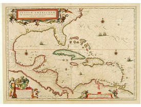
General map of the West Indies extending from Virginia to the mouth of the Orinoco, and destined to be copied in various shap..
2,000€
Location: 1647
Published: Amsterdam, 1647
Size: 382 x 503mm.
Color: In attractive original colours.
Condition: In very good condition. <b>The map is lavishly coloured using gold for the cartouches and further embellishment.</b>
The cartographer of this map was Gerard Mercator. Latin text on verso. The scale of longitude and latitude are coloured alter..
600€
Location: 1648
Published: Amsterdam, 1648
Size: 380 x 520mm.
Color: In attactive original colours.
Condition: Bel exemplaire aquarellé à l’époque. Légères mouillures dans la partie marginale supérieure centrale. Bonne condition générale.
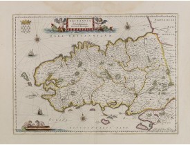
Mont-Saint-Michel appears near the top right of this map of Brittany. Includes many decorative elements such as three windros..
700€
Location: 1650
Published: Amsterdam, 1650
Size: 640 x 970mm.
Color: Uncoloured.
Condition: Because of its dimensions the map is printed from two plates. Underlaying on folds, lower margin cut to lower neat line and contemporarily added margin.
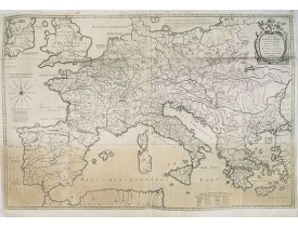
Prepared by Petrus Bertius in 1616. Very large historical map (four sheets joined) depicting the empire of Charles the Great...
350€
Location: 1650
Published: Amsterdam, 1650
Size: 411 x 557mm.
Color: In attactive original colors
Condition: Mint condition. Dutch text on verso.
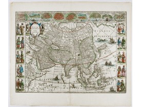
From 1633 the members of the Blaeu family were official cartographers to the United East India Company and, as such, had acce..
3,250€
Location: 1650
Published: Amsterdam, 1650
Size: 385 x 538mm.
Color: In attactive original colours.
Condition: Très bel exemplaire. - In very good condition.
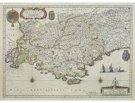
A very decorative map, several cartouches, prepared by Pierre Jean Bompar.In this region over half of the rosé wines produced..
800€
Location: 1655
Published: Amsterdam, 1655
Size: 382 x 257mm.
Color: In attactive original colours.
Condition: In fine condition.
Fine map of the region including the coastline and the islands of Ile de Ré and Ile d'Oléron, the cities of Nantes and Rochel..
600€
Location: 1655
Published: Amsterdam, 1655
Size: 195 x 470mm.
Color: Uncoloured.
Condition: 4to. 2 parts in one vol. General title with woodcut printers device, two section titles with diagrams of globes, 32 woodcut diagrams in the text. Very light marginal browning. Contemporary vellum, lightly stained.
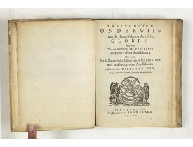
Willem Blaeu's guide to the making of globes, first published in 1620, here reprinted by his son, Joan.The book consists of t..
2,000€
Location: 1658
Published: Amsterdam, 1658
Size: 381 x 500mm.
Color: Uncoloured.
Condition: With wide margins and a strong dark impression. Very good condition.
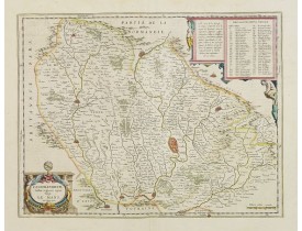
A very decorative map further enhanced with a pair of beautiful cartouches in diagonal corners of a lovely province of France..
60€
Location: 1658
Published: Amsterdam, 1658
Size: 410 x 479mm.
Color: In attactive original colours.
Condition: Printed on heavy paper. Dutch text on verso. Wide margins, good impression. Minor offsetting of colour, upper left corner. Else fine.
Map of the region centered on Paris. A region immortalized by painters like Corot, Pissarro, and Monet.Decorative title cart..
800€
Location: 1658
Published: Amsterdam, 1658
Size: 381 x 497mm.
Color: In attractive strong original colours.
Condition: Faint marginal water staining in the upper border. Else fine.
Detailed map of a province of France famed for its Cahors wine, Rocamadour goat cheese, and black truffles.Centered on Cahors..
250€
Location: 1658
Published: Amsterdam, 1658
Size: 382 x 500mm.
Color: In attractive strong original colours.
Condition: Faint marginal water staining on top of the sheet. Restoration of minor loss of paper in the upper left border. Else fine.
A very decorative map with beautiful cartouches of a province of France by one of the most famous map publishers.The city of ..
300€
Location: 1658
Published: Amsterdam, 1658
Size: 382 x 498 mm.
Color: In attactive original colours.
Condition: Faint marginal traces of humidity in the upper border. Wide margins, good impression. Very good condition.
BLAEU, W. - Cenomanorum Galliae regionis typus: Vulgo Le Mans. - 24172 - West regions - BLAEU, W. - Cenomanorum Galliae regi..
300€
Location: 1658
Published: Amsterdam, 1658
Size: 413 x 625mm.
Color: In attractive original colours.
Condition: Dark impression. German text on verso.
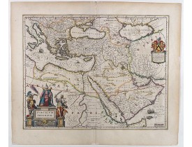
A very handsome map with a particularly fine cartouche showing the Turkish Sultan on his throne and allegorical figures at ei..
1,000€
Location: 1658
Published: Amsterdam, 1658
Size: 382 x 502mm.
Color: Original colours.
Condition: Printed on heavy paper. Some light water staining in upper margin, hardly affecting the engraved area. Dutch text on verso. Wide margins, very good impression, near to mint condition. Dutch text on verso.
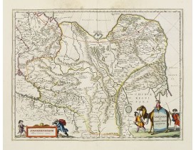
This is a detailed and decorative map of the Tartary and northern part of China, including the Chinese Great Wall, the Caspia..
600€
Location: 1658
Published: Amsterdam, 1658
Size: 380 x 498mm.
Color: Original colours.
Condition: Wide margins, good impression.
A very decorative map with beautiful cartouches of a province of France by one of the most famous map publishers. At this map..
150€
Location: 4-55
Published: Amsterdam, 1644-55
Size: 388 x 530 mm.
Color: In original colours.
Condition: Very good condition. Dutch text on verso. Wide margins.
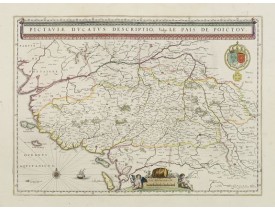
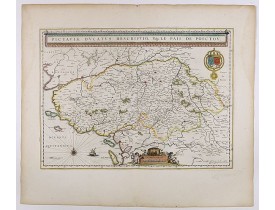
BLAEU, W. - Pictaviae Ducatus Descriptio Vulgo le Pais de POICTOU. - 40392 - Poitou - BLAEU, W. - Pictaviae Ducatus Descript..
500€

