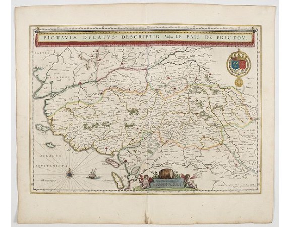
BLAEU, W. - Pictaviae Ducatus Descriptio Vulgo le Pais de POICTOU.
 Click on image to zoom

BLAEU, W. - Pictaviae Ducatus Descriptio Vulgo le Pais de POICTOU.
Published: Amsterdam, 1644
Size: 383 x 530mm.
Color: In original colours.
Condition: Very good condition. Dutch text on verso. Wide margins.
Description
Fine map of the region including the coastline and the islands of Ile de Ré and Ile d'Oléron, the cities of Nantes and Rochelle prominently delineated. Richly ornamented with a banner style title cartouche, the royal arms, a compass rose, sailing ship and a distance scale topped by a wine barrel and flanked by two adorable putti.
From early on Willem Jansz. Blaeu aimed of publishing an atlas to compete with the Hondius-Jansson Atlas. By 1630, he had published at least 17 folio size maps.
Blaeu was able to realize his plan soon after he had acquired the copper plates of the atlas maps by Jodocus Hondius. The "Appendix followed in 1630.
In 1635 he finally realized a "international edition" of a world atlas, the "Theatrum Orbis Terrarum".
200€
- See other items by this publisher: Willem Blaeu
- Reference N°: 45118
