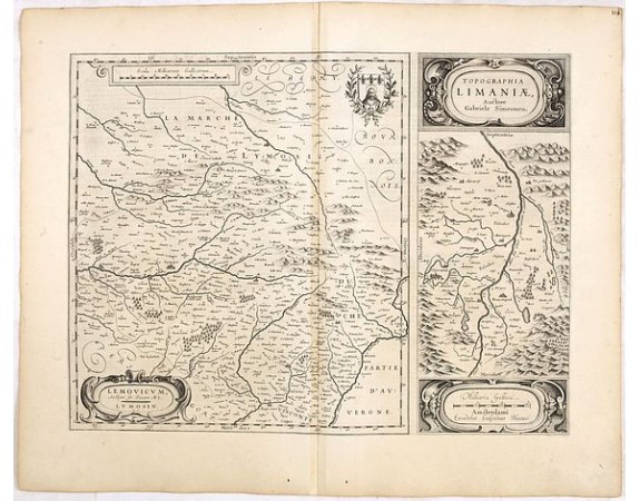
BLAEU, W. - Lemouicum, Auctore Jo. Faiano M.L. - Lymosin (together with) Topographia Limaniae, Auctore Gabriele Simeoneo.

BLAEU, W. - Lemouicum, Auctore Jo. Faiano M.L. - Lymosin (together with) Topographia Limaniae, Auctore Gabriele Simeoneo.
Published: Amsterdam, 1634
Size: 380 x 500mm.
Color: Uncoloured.
Condition: Paper lightly aged-toned, and slightly dicoloured along the centerfold. Very good to mint condition. German text on verso.
Description
A very decorative map with beautiful cartouches of a province of France by W. Blaeu, one of the most famous of all map publishers.
Two maps on one sheet. To the left a map of the town of Lymoges and the surrounding area; and to the right the map shows the Allier River and valley in the Massif Central in south-central France.
At the right, the Duore (Dore) River joins the Elauer (Allier) River flowing north through the middle of the map. Cleremont (Clermont-Ferrand) is near the middle of the left margin. Mountains are attractively emphasized.
The map is distinguished by a number of attractive and decorative additions including cartouches, mileage scale and coat-of-arms.
From an incomplete example of the 1634 German text edition of Blaeu's "Novus Atlas", previously owned by Johann Christoph Gesen (1639), Johann Rudolph von Metzradt (1651), Friedrich August II, King of Saxony (1797-1854).
P. van der Krogt mentions two variants for the German 1634 text edition and only two examples containing proof states (Bad Münstereifel and Gotha).
50€
- See other items by this publisher: BLAEU, W.
- Reference N°: 36048
986 views
 Click on image to zoom
