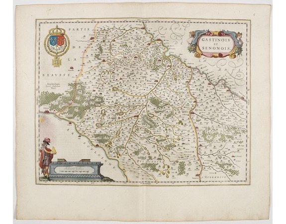
BLAEU, W. - Gastinois et Senonois.

BLAEU, W. - Gastinois et Senonois.
Published: Amsterdam, 1644
Size: 382 x 500mm.
Color: In attractive strong original colours.
Condition: In good condition.
Description
A very decorative map with beautiful cartouches of a province of France by one of the most famous map publishers.
The city of Orleans lies at the left margin along the Loire River. The Seine River is at the right. The city of Sens lies along the Yonne River which later joins the Seine.
From early on Willem Jansz. Blaeu aimed of publishing an atlas to compete with the Hondius-Jansson Atlas. By 1630, he had published at least 17 folio size maps.
Blaeu was able to realize his plan soon after he had acquired the copper plates of the atlas maps by Jodocus Hondius. The "Appendix followed in 1630.
In 1635 he finally realized a "international edition" of a world atlas, the "Theatrum Orbis Terrarum".
200€
- See other items by this publisher: BLAEU, W.
- Reference N°: 45143
843 views
 Click on image to zoom
