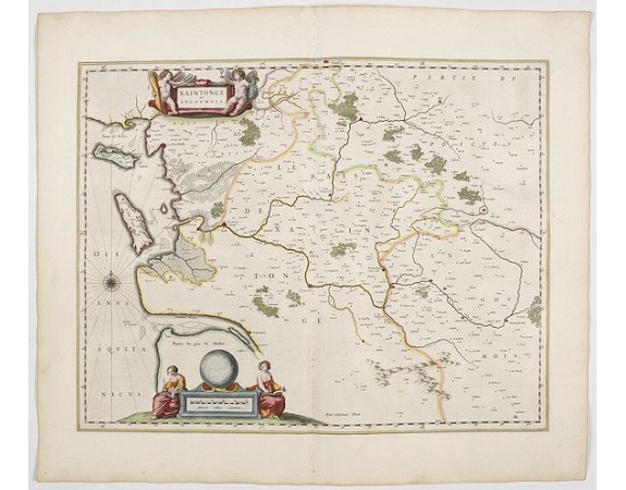
BLAEU, J. - Xaintonge et Angoumois.

BLAEU, J. - Xaintonge et Angoumois.
Published: Amsterdam, 1644
Size: 390 x 500mm.
Color: In original colours.
Condition: Very good to mint condition.
Description
This map features a portion of western coastal France, north of Bordeaux with Ile de Ré and Ile Oléron. Two large cartouches show cherubs with grapes and wheat, and two women with a globe.
From early on Willem Jansz. Blaeu aimed of publishing an atlas to compete with the Hondius-Jansson Atlas. By 1630, he had published at least 17 folio size maps.
Blaeu was able to realize his plan soon after he had acquired the copper plates of the atlas maps by Jodocus Hondius. The "Appendix followed in 1630.
In 1635 he finally realized a "international edition" of a world atlas, the "Theatrum Orbis Terrarum".
400€
- See other items by this publisher: BLAEU, J.
- Reference N°: 45117
1907 views
 Click on image to zoom
