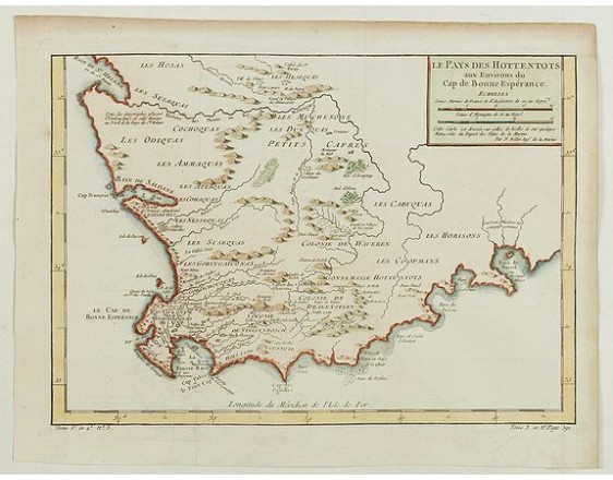
BELLIN, J.N. - Le Pays des Hottentots aux environs du Cap de Bonne Espérance. . .
 Click on image to zoom

BELLIN, J.N. - Le Pays des Hottentots aux environs du Cap de Bonne Espérance. . .
Published: Paris, 1748
Size: 246 x 349mm.
Color: Coloured.
Condition: A good and dark impression.
Description
A good engraved map of Cape of Good Hope. The geographical features are typical with somewhat exaggerated bays, inlets and prominent mountain ranges. The west coast of the Cape Colony is depicted from St.Helena Bay, with a little of the east coast as far as Baye de Mussel (Mossel Bay). Prepared by J.Kolbe. From "l'Histoire générale des voyages".
200€
- Reference N°: 07362
