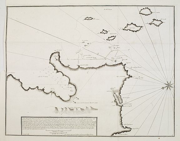
AYROUARD, J. - Carte d'une partie de la côte de l' îsle de Corse contenant de puis le Cap de fen. . .

AYROUARD, J. - Carte d'une partie de la côte de l' îsle de Corse contenant de puis le Cap de fen. . .
Published: Marseille, 1732 - 1746
Size: 460 x 595mm.
Color: Uncoloured.
Condition: Bonne condition générale. Très belle impression. Marge sup. gauche un peu courte. Pliures d'origine.
Description
Rare map depicting the southern tip of Corsica around Bonifacio. Oriented with East on top. From the rare chart book by Jacques Ayrouard: "Recueil de plusieurs Ports .. de la Mer Méditerranée". Little is known about Ayrouard, however, he states in his atlas that he visited the ports whilst as an navigator with the French Royal Navy, and whilst on other voyages undertaken by himself. The chart is beautiffully engraved by Louis Corne. His chats are adapted by numerous hydrographers, most notably William Heather, in 1802.
500€
- See other items by this publisher: AYROUARD, J.
- Reference N°: 24852
2984 views
 Click on image to zoom
