Chine
Location: 1599
Date: Frankfurt, 1599
Format: 140 x 177mm.
Color: Noir et blanc.
Condition: Text sheet with copper plate engraving (140x177mm.) In very good condition, dark impression.
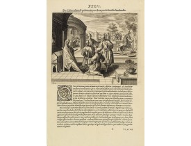
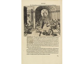
A scene of a funeral in China from Linschoten's famous voyages to the East of 1583-92 here published by De Bry the year after..
100€
Location: 1599
Date: Frankfurt, 1599
Format: 140 x 177mm.
Color: Noir et blanc.
Condition: Text sheet with copper plate engraving (140x177mm.) In very good condition, dark impression.
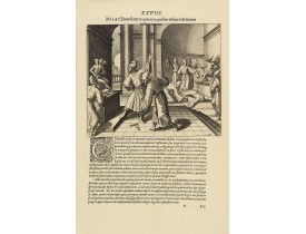
A religious scene in China Linschoten's famous voyages to the East of 1583-92 here published by De Bry the year after they fi..
100€
Location: 1599
Date: Frankfurt, 1599
Format: 140 x 177mm.
Color: Noir et blanc.
Condition: Text sheet with copper plate engraving (140x177mm.) In very good condition, dark impression.
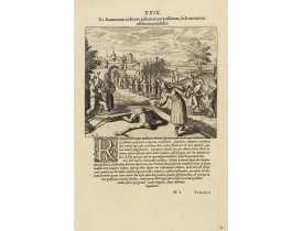
The Chinese way of a punishment from Linschoten's famous voyages to the East of 1583-92 here published by De Bry the year aft..
100€
Location: 1599
Date: Frankfurt, 1599
Format: 140 x 177mm.
Color: Noir et blanc.
Condition: Text sheet with copper plate engraving (140x177mm.) In very good condition, dark impression.
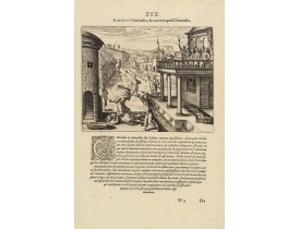
Punishment of a criminal in China from Linschoten's famous voyages to the East of 1583-92 here published by De Bry the year a..
100€
Location: 1599
Date: Frankfurt, 1599
Format: 140 x 177mm.
Color: Noir et blanc.
Condition: Text sheet with copper plate engraving (140x177mm.) In very good condition, dark impression.
A scene of a Chinese dinner feast from Linschoten's famous voyages to the East of 1583-92 here published by De Bry the year a..
100€
Location: 1608
Date: Anvers, 1608
Format: 365 x 470mm.
Color: Col.
Condition: 4to. 2 parts in one vol. General title with woodcut printers device, two section titles with diagrams of globes, 32 woodcut diagrams in the text. Very light marginal browning. Contemporary vellum, lightly stained.
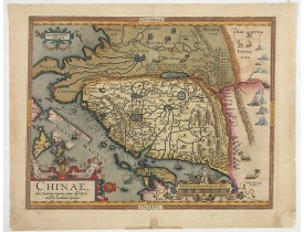
The first map of China ever to appear in a Western atlas, west to the top. When this map appeared, it was by far the most acc..
5 500€
Location: 1644
Date: Amsterdam, 1644
Format: 410 x 500mm.
Color: In attractive strong original colours.
Condition: Fine condition.
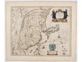
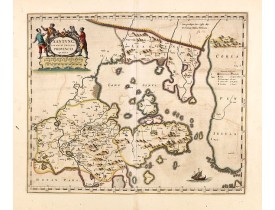
This was the first of Blaeu's maps of China. In 1655 he was to publish the famous map of Father Martini, with many of the ear..
2 200€
Location: 1660
Date: Amsterdam, ca 1660
Format: 396 x 480mm.
Color: Col. ancien.
Condition: Very good condition. Good and dark impression.
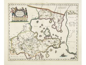
A map of the northern province ‘Xantung’ of China after the Jesuit Martino Martini.Shows the Great Wall and is centered on th..
1 200€
Location: 1660
Date: Amsterdam, ca 1660
Format: 396 x 480mm.
Color: In very attractive original colours.
Condition: Very good condition. Paper very slightly age-toned and some light offsetting due to oxidation of ink.
A map of the northern province ‘Xantung’ of China after the Jesuit Martino Martini.Shows the Great Wall and is centered on th..
1 400€
Location: 1690
Date: Venice, 1690
Format: 450 x 590mm.
Color: Limites en col. ancien.
Condition: Good and dark impression. Unusual to find a Coronelli map in original out line colours.
A beautiful map depicting the area of Beijing with decorative title cartouche and scale cartouche. Information about the area..
600€
Location: 1691
Date: Venice, 1691
Format: 452 x 605mm.
Color: Noir et blanc.
Condition: Short lower margin. A strong impression printed on thick paper. Italian description on verso.
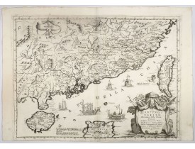
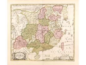
A beautifully engraved decorative map of Southern China extending from Hainan in the West to Formosa in the East and centered..
3 500€
Location: 1695
Date: Venice, 1695
Format: 605 x 910mm.
Color: Noir et blanc.
Condition: Some very minor re-inforcements along center fold. A good and dark impression. Very good condition.
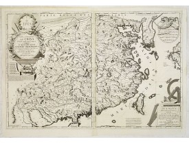
The map depicts the eastern part of China with Korea -correctly- as a peninsula. Formosa is included as well. Japan is partly..
7 500€
Location: 1713
Date: Amsterdam, 1713
Format: 215 x 335mm.
Color: Col.
Condition: Map has two small holes that affect the engraved surface, one is a rust hole light creasing and the margins have very minor nicks and small tears, else in good condition.
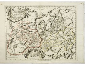
This attractive map of Tartary shows the ancient Silk Road region. The map shows the track of William of Rubruck (Willem van ..
500€
Location: 1720
Date: Amsterdam, ca. 1720
Format: 462 x 520mm.
Color: Col. ancien.
Condition: In mint condition and very attractive original colours.
Schenk and Valk's rare early 18th century issue of Janssonius milestone map of China, Korea and Japan after Martino Martini. ..
1 700€
Location: 1729
Date: Amsterdam, 1729
Format: 200 x 125mm.
Color: Noir et blanc.
Condition: Six parties en un vol. in 8°. Vélin estampé à froid, titre à l'encre au dos. Frontispice allégorique gravé par J.C. Philips (1729), 3 cartes gravées dépliantes de Chine avec le Japon et le Kamchatka (1) et du Japon (2).
Original edition of the first volume of the Dutch translation of an extensive series on the geography, history and culture of..
1 300€
Location: 1734
Date: Venice, 1734
Format: 200 x 130 mm.
Color: Noir et blanc.
Condition: 8vo. Contemp. vellum. 512pp. Illustrated with 4 plates including one with Japanese people. 1 folding view of Deshima and two folding maps of Japan and the Philippines with Italian text after I. Tirion.
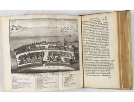
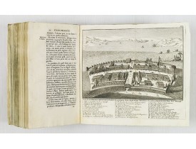
This most uncommon work provides an interesting focus on the dissemination of the outline of Japan provided by Kaempfer. Besi..
1 000€
Location: 1734
Date: London, William Mount & Thomas Page, 1734
Format: 518 x 865mm.
Color: Col.
Condition: In very good condition.
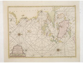
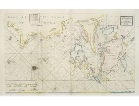
A very fine sea chart of China's Zhejiang Province, from the celebrated Third Book of 'The English Pilot'This elegant and lar..
2 500€
Location: 1736
Date: The Hague, H. Scheurleer, 1736
Format: 560 x 410mm.
Color: Noir et blanc.
Condition: 4 volumes, 4to (257 x 196mm.), titles printed in red and black with engraved vignettes, 11 engraved vignette illustrations and 51 plates (of 53), a number folding, contemporary half calf, spines gilt with morocco labels, [Löwendahl 398], without the separately published atlas, lacking 2 plates in vol.2 (Obseques at p.149 and Gin seng at p.180), one plate torn without loss (vol.1, p.230), d4 vol.1 with short tear and slight stain, bindings slightly rubbed and slightly worn.
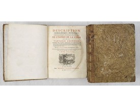
These volumes accompany Bourguignon d'Anville's Nouvel atlas de la Chine, de la Tartarie chinoise et du Thibet. of 1737. Firs..
5 000€
Location: 1737
Date: The Hague, 1737
Format: 470 x 685mm.
Color: Col. ancien.
Condition: Paper broken on centerfold and other places due to oxidation of green ink. Good and dark impression.
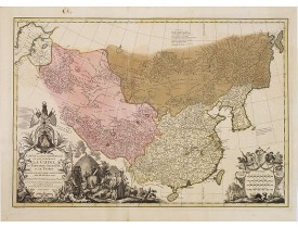
It has a quite elaborate pictorial cartouche engraved by G. Kondet. It is a very detailed map of China, Tibet, and Korea.In t..
2 500€
Location: 1739
Date: Nuremberg, Homann, c. 1739
Format: 295 x 177mm.
Color: Col. ancien.
Condition: Wide left margin, right margin cut close. Dark impression. Fine.
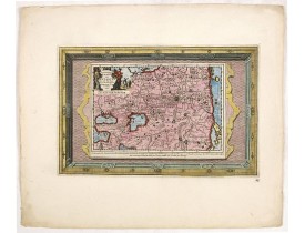
A rare composite sheet of engravings of town plans of Han Tscheu, Sinngan Fou (Singapore??), Kan Tscheu, and Su Tscheu. From ..
350€
Location: 1753
Date: Amsterdam, 1753
Format: 410 x 535mm.
Color: Col.
Condition: Paper slightly age-toned. Several wormholes filled in, hardly notable. Very good throughout.
A rare and finely engraved and detailed chart of China's Zhejiang Province. Very rare: only included in 6th volume (so-called..
4 500€
Location: 1760
Date: Augsburg, 1760
Format: 310 x 410mm.
Color: Col. ancien.
Condition: In very attractive original colours. Light water stain in margins affecting engraved area.
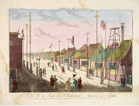
So-called optical print illustrating a parade of vessels. Engraved by F.X. Habermann (1721-1796). The Academie Imperiale was ..
400€
Location: 1760
Date: Augsburg 1760
Format: 310 x 410mm.
Color: Col. ancien.
Condition: In very attractive original colours. Good margins.
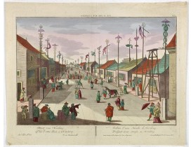
A well-known publisher of optical prints, established in Augsburg. After a design by P.van Blankaert.In the eighteenth and ni..
350€
Location: 1783
Date: Paris, ca 1783
Format: 302 x 445mm.
Color: Limites en col. ancien.
Condition: Paper slightly age toned, with good margins. Good impression.
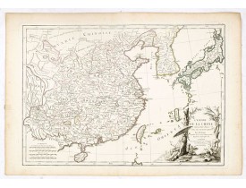
Attractive map of eastern part of China, including Taiwan, Korea and Japan. With ornamental title cartouche. Boundaries outli..
275€


![HASE, J, M. - [ Four plans on one sheet] Han Tscheu, Sinngan Fou (Singapore??), Kan Tscheu and Su Tscheu. HASE, J, M. - [ Four plans on one sheet] Han Tscheu, Sinngan Fou (Singapore??), Kan Tscheu and Su Tscheu.](https://www.loeb-larocque.com/eshop/image/cache/catalog/image/new_upload/33498-275x210h.jpg)
