Arabian Peninsular
Location: 1739
Published: London, 1739
Size: 196 x 246mm.
Color: In original o/l colours.
Condition: Good condition. Printed on heavy paper.
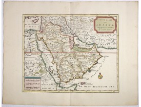
Detailed map of the Arabian Peninsula from the Mediterranean Sea to the Arabian Sea, and western Iran. with an engaging text ..
500€
Location: 1740
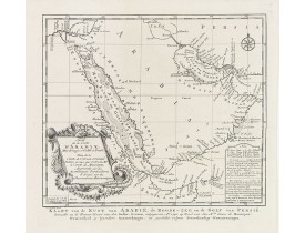
Published: Amsterdam, 1740
Size: 290 x 355 mm.
Color: Original colours.
Condition: Wide margins. Mint.
TIRION, I. - Nieuwe kaart van Arabia. - 39132 - Arabian Peninsular - TIRION, I. - Nieuwe kaart van Arabia. - 39132 - Arabian..
1,200€
Location: 1746
Published: Nuremberg, 1746
Size: 170 x 265mm.
Color: Coloured.
Condition: In very good condition, additional, wider margins added in contemporary paper. Nice impression.
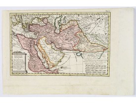
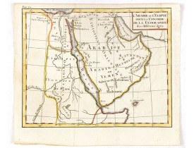
An attractive map of the areas of control under the ancient Egyptian King Sesostris. These comprised Egypt and Ethiopia, Asia..
100€
Location: 1750
Published: Paris, ca 1750
Size: 215 x 250mm.
Color: Colored
Condition: In good condition, centerfold as issued, a few plate 'marks' etc. Folded left margin. Paper thinning in places.
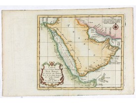
A pleasant map of the Arabian Peninsular, the Red Sea and the Gulf region, published in Paris during the mid 18th century. P..
200€
Location: 1750
Published: London, ca 1750
Size: 177 x 256 mm.
Color: Uncoloured.
Condition: In good condition, some light water staining and assorted marks etc to the margins and elsewhere. Dark impression, wide margins.
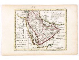
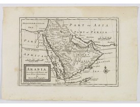
MOLL, H. - Arabia. According to the Newest and Most Exact Observations. - 43083 - Arabian Peninsular - MOLL, H. - Arabia. Ac..
350€
Location: 1753
Published: Paris, 1753
Size: 486 x 664mm.
Color: Uncoloured.
Condition: In good condition. Paper very slightly age-toned.
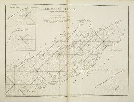
Chart of the Red Sea. With 3 inset maps of "Shake Omare, Goofs and Gedan. D'Après De Mannevillette (1707-1780) was one of Fra..
425€
Location: 1760
Published: Germany, ca. 1760
Size: 215 x 250mm.
Color: In attractive strong original colours.
Condition: Manuscript map in brown ink and wash colour. In mint condition.
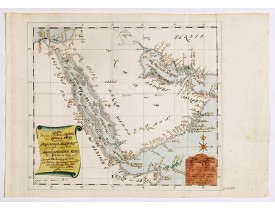
Manuscript map of Arabia. A close copy of Bellin's map of the Arabian Peninsular. In the lower right margin "Tom A, vol V."A ..
2,350€
Location: 1765
Published: Paris, 1765
Size: 140 x 175mm.
Color: Coloured.
Condition: In good condition
Uncommon map of Arabian Peninsular with a title inland "Arabie Heureuse. . ."...
125€
Location: 1773
Published: Amsterdam, 1773
Size: 215 x 248mm.
Color: Uncoloured.
Condition: Good and dark impression.
Uncommon issue of this very nice map of the Arabian peninsula. Depicted is Saudi Arabia, Red Sea and the Persian Gulf.With Fr..
300€
Location: 1774
Published: Augsbourg, 1774
Size: 565 x 370mm.
Color: In attactive original colours.
Condition: In mint condition.
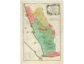
South-west Arabia, with the Saudi Arabian city of Jizan south to Aden. With a fine title, cartouche. Based on a map by Carste..
700€
Location: 1780
Published: Paris, 1780
Size: 234 x 343 mm.
Color: Uncoloured.
Condition: A good and dark impression.
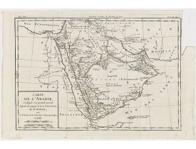
BRION DE LA TOUR, L. - Carte de L'Arabie, rédigée en grande partie d'après le voyge récent et les Cartes de M. Niebuhr par l..
125€
Location: 1780
Published: Pqris, ca. 1780
Size: 165 x 95mm.
Color: Uncoloured.
Condition: In very fine condition. Dark impression.
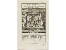
View of the Mecca Temple. Hist. Mod.. Tom 1er. Pag. 305..
200€
Location: 1790
Published: Paris, 1790
Size: 487 x 350mm.
Color: Uncoloured.
Condition: Folio. 11 unnumbered engraved plates (8 single-page and 3 folding) before letter. Half cloth binding from the 19th century. Slightly water staining and brown spotting. One tear at the second small plate, repaired.
Collection of 11 engraved plates (3 folding) from "Tableau Général de l'Empire Ottoman", Paris, Imprimerie de Monsieur, 1790,..
3,750€
Location: 1797
Published: Rome, 1797
Size: 340 x 470mm.
Color: In original o/l colours.
Condition: Paper slightly age toned. Good and dark impression, in good condition.
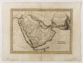
First edition on laid paper. Cassini’s splendid early map of Arabia...
1,875€
Location: 1827
Published: Brussels, 1825-1827
Size: 472 x 516mm.
Color: Original colours.
Condition: Lithography, in original colours. Paper age toned. Plano sheet.
Two map sheets of Arabia. N° 77 Covers part of Egypt, Saudi Arabia, Jordan and Israel. Shows explorer's sea routes. N°. 91 A..
300€
Location: 1840
Published: Paris, ca. 1840
Size: 585 x 870mm.
Color: Uncoloured.
Condition: Paper slightly age toned, but generally good. Printed on heavy paper.
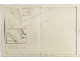
Very large and detailed chart depicting the entrance of the Red Sea, including the coastline of Yemen with inset "Carte du dé..
700€
Location: 1841
Published: London, 1841
Size: 812 x 1045mm.
Color: Original outline colors.
Condition: Folding map in 4 sheets. If joined 812x1045 (32x41.5 inch)
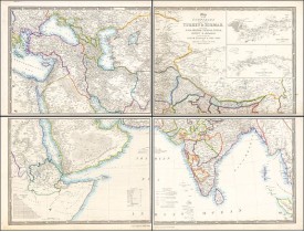
This striking 4-sheet map, dating to the first half of the 19th century, covers a vast region stretching from Cyprus to Bhut..
1,100€
Location: 1851
Published: London & New York: John Tallis & co, c.1851
Size: 340 x 250mm.
Color: In original o/l colours.
Condition: Very good condition. Still in it's original condition with original out line colouring. Some light spotting.
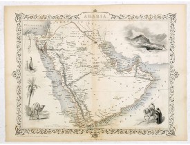
A highly decorative and detailed map of Arabia which was drawn and engraved by J.Rapkin and the Illustrations by H. Warren af..
275€
Location: 1853
Published: Leiden, 1844-1853
Size: 685 x 527mm.
Color: In original colours.
Condition: Lithography. In excellent condition. Wide margins.
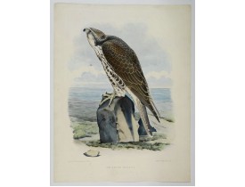
A beautiful elephant folio sized coloured lithograph of a bird of prey, taken from the famous book on Falconry Traite de Fauc..
2,250€
Location: 1855
Published: Paris, November 1855
Size: 190 x 240mm.
Color: In original colours.
Condition: Pen and ink and body colour on thin paper, pasted on larger sheet. Paper with staining and some damage to paper.
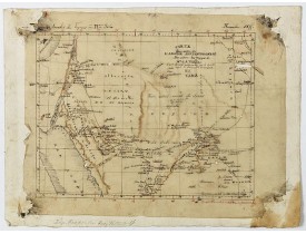
This is the original hand drawn map by Victor Adolphe Malte-Brun of "Carte d'unne partie de l'Arabie Septentrionale Pour sui..
3,000€
Location: 1868
Published: London (1836) corrected to 1868
Size: 629 x 879mm.
Color: Uncoloured.
Condition: Overall good condition. Printed on heavy paper.
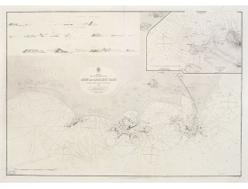
Large chart focused east of Aden, in Yemen.With inset plan of Aden Anchorage in the upper right corner and a set of coastal..
850€
Location: 1908
Published: Paris, 1908
Size: 405 x 304mm.
Color: Uncolored
Condition: Good impression. Publishers cover and 20pp. with photo's and advertisements.
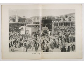
L'Illustration, the first French illustrated newspaper from 1843, became the first magazine in the world in 1906 and is distr..
150€

![MOURADJA D'OHSSON, Ignace. - [Tableau Général de l'Empire Ottoman]. 11 plates with the panoramic view of Mecca. MOURADJA D'OHSSON, Ignace. - [Tableau Général de l'Empire Ottoman]. 11 plates with the panoramic view of Mecca.](https://www.loeb-larocque.com/eshop/image/cache/catalog/image/new_upload/41513-275x210w.jpg)
![VANDERMAELEN, Ph. - Partie de L'Arabie N° 77 [together with] Arabie Heureuse N°. 91. VANDERMAELEN, Ph. - Partie de L'Arabie N° 77 [together with] Arabie Heureuse N°. 91.](https://www.loeb-larocque.com/eshop/image/cache/catalog/image/new_upload/33744-275x210h.jpg)
