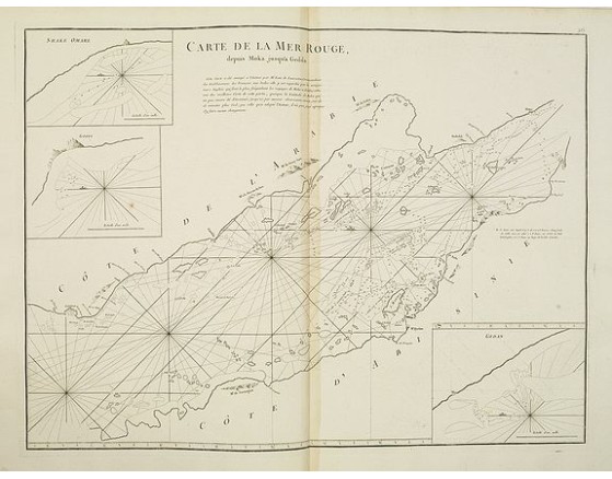
APRES DE MANNEVILLETTE, J-B. N. d'. - Carte de la Mer Rouge..
 Click on image to zoom

APRES DE MANNEVILLETTE, J-B. N. d'. - Carte de la Mer Rouge..
Published: Paris, 1753
Size: 486 x 664mm.
Color: Uncoloured.
Condition: In good condition. Paper very slightly age-toned.
Description
Chart of the Red Sea. With 3 inset maps of "Shake Omare, Goofs and Gedan. D'Après De Mannevillette (1707-1780) was one of France's first hydrographers. When the first edition of his Atlas "Le Neptune Oriental" (containing only 22 charts) was published in 1745, it was regarded as a major achievement and a library indispensable to navigators. In 1672, d'Après was appointed director of an office established by the Compagnie des Indes for the publication of charts.
425€
- Reference N°: 05629
