Florida
The Silk Road extended approximately 6,437 kilometers (4,000 miles) across some of the world’s most formidable landscapes, including the Gobi Desert, the Pamir Mountains and traversed several of Uzbekistan’s major cities, including Samarkand, Bukhara and Khiva. The roads were typically in poor condition. Robbers were common. To protect themselves, traders joined together in caravans with camels or other pack animals. Over time, large inns called caravanserais cropped up to house travelling merchants.
One of the most famous travelers of the Silk Road was Marco Polo (1254 C.E. –1324 C.E.). Born into a family of wealthy merchants in Venice, Italy, Marco traveled with his father to China (then Cathay) when he was just 17 years of age.
It is hard to overstate the importance of the Silk Road on history. Religion and ideas spread along the Silk Road just as fluidly as goods. Towns along the route grew into multicultural cities.
The exchange of information gave rise to new technologies and innovations that would change the world.
The below antique maps are available for immediate sale, they are sold with a certificate of authenticity and published at the date indicated in the catalog description.
One of the most famous travelers of the Silk Road was Marco Polo (1254 C.E. –1324 C.E.). Born into a family of wealthy merchants in Venice, Italy, Marco traveled with his father to China (then Cathay) when he was just 17 years of age.
It is hard to overstate the importance of the Silk Road on history. Religion and ideas spread along the Silk Road just as fluidly as goods. Towns along the route grew into multicultural cities.
The exchange of information gave rise to new technologies and innovations that would change the world.
Antique maps including the Silk Route region
The below antique maps are available for immediate sale, they are sold with a certificate of authenticity and published at the date indicated in the catalog description.
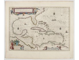
Location: 1644
Published: Amsterdam, 1644
Size: 378 x 518mm.
Color: In attractive strong original colours.
Condition: Generally in very good condition. A good and dark impression. French text on verso.
General map of the West Indies extending from Virginia to the mouth of the Orinoco, and destined to be copied in various shap..
2,500€
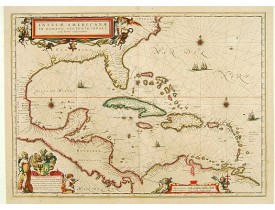
Location: 1647
Published: Amsterdam, 1647
Size: 378 x 518mm.
Color: In attactive original colours.
Condition: Paper very slightly age-toned, generally in very good condition. In original colours.
General map of the West Indies extending from Virginia to the mouth of the Orinoco, and destined to be copied in various shap..
2,000€
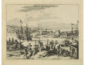
Location: 1671
Published: Amsterdam, 1671
Size: 269 x 355mm.
Color: Uncoloured.
Condition: Good and dark imprint. Paper slightly browned. Some foxing. Else good.
View of the port of St. Augustine, the oldest city in the United States and the northernmost bastion of the Spanish empire in..
450€
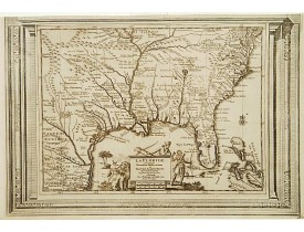
Location: 1728
Published: Amsterdam 1728
Size: 265 x 380mm.
Color: Uncoloured.
Condition: Good and dark impression. Upper margin cut till neat line.
This splendid map of the southern United States was based on Delisle's influential Carte du Mexique de la Floride.. of 1703. ..
900€
Location: 1778
Published: Venise 1778
Size: 338 x 422mm.
Color: In original colours.
Condition: In good condition.
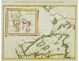
Antonio Zatta published an Italian version of the John Mitchell map in twelve sheet. This sheet depicts Lake Superior in the ..
400€
Location: 1800
Published: Paris, 1800
Size: 598 x 893mm.
Color: Coloured.
Condition: Several wormholes filled in, hardly notable. Overall in very good condition.
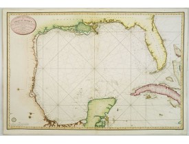
Detailed and important early chart of the Gulf Coast and Florida and dated 1800. From Neptune des cotes occidentales d'Amer..
4,000€
Showing 1 to 6 of 6 (1 Pages)

