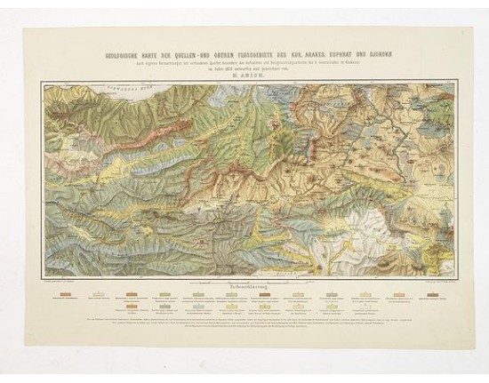
ABICH, H. - Geologische Karte der Quellen-und Oberen Flussgebiete des Kur, Araxes, Euphrat und Djorokh
 Click on image to zoom

ABICH, H. - Geologische Karte der Quellen-und Oberen Flussgebiete des Kur, Araxes, Euphrat und Djorokh
Published: Deutchland, 1879
Size: 360 x 540mm.
Color: Color printed.
Condition: Very good.
Description
Uncommon soil or geological map of Kur, Araxes Euphrat und Djorokn region in Caucasus. In lower part a colour key to show geological features like granite, quartz, lava, rock units and geologic strata are shown where they are exposed at the surface.
Prepared by H.Albich in 1879 after J.J.Puliny. Heights are indicated in English feets.
Published by Lith. georg. Inst. v.F. Koke in Vienna.
Prepared by H.Albich in 1879 after J.J.Puliny. Heights are indicated in English feets.
Published by Lith. georg. Inst. v.F. Koke in Vienna.
300€
- See other items by this publisher: ABICH, H.
- Reference N°: 30034
